Hike with history along forests, fields, and farms that featured in the Battle of Monmouth in 1778.
3.5 miles, surface is easy; dirt and fields, little elevation change.
| 3.5 miles | This hike guide: Detailed instructions and photos follow below. |
| Shorter | Do just Combs (RED) for 2.0 miles, or just Hedgerow & Parsonage for 1.9 miles. |
| Longer | Add 0.5 miles with BLUE. Add ~ 4-5 miles – Continue into the Perrine Hill and Craig Farm area from Hedgerow & Parsonage. |
| Nearby | Turkey Swamp; Thompson Park – Middlesex County; Thompson Park Conservation Area; Perrineville Lake Park; Manasquan Reservoir; Henry Hudson Trail – Marlboro to Freehold. |
Our two cents:
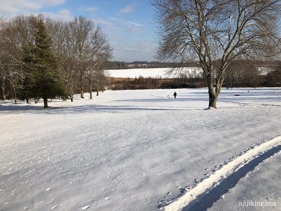
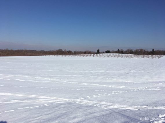
Easy and scenic; majority is open fields and more of a walk than a hike. Follows the site of a major Revolutionary War battle, check out the displays in the visitor center for context.
Plenty of sun exposure makes for nice winter hikes – but can be breezy in the open fields. Bonus: Sledding hill behind the visitor center.
Randomness: Use Google streetview to see camp areas during the June 2011 reenactment.
Updated: 6/2026 – Minor edits; updated trail colors that changed, not re-hiked. 4/2020: Page refreshed, not re-hiked.
Hike Info:
Map:
Get one in the visitor center, or print ahead (it’s a large foldout though).
Parking: 40.263278, -74.320361
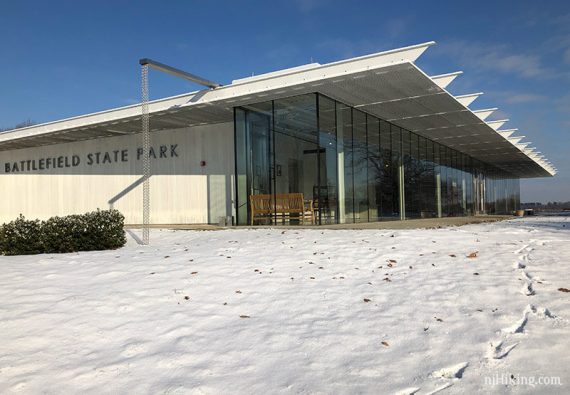
Monmouth Battlefield State Park, 20 NJ-33 Business, Manalapan Township, NJ 07726. Large paved parking lot near the visitor center.
Restrooms:
In the visitor center, “open 9am – 4pm except some winter Sundays”.
Hike Directions:
Overview: Hedgerow & Parsonage (RED DASH) – Comb Farms (RED)
We combined these two loops but they could be done separately.
With the lack of markings, it’s hard to give specific turn-by-turn directions so we’ve done a basic description… be sure to have a map. Or just wing it and wander around to whatever fancies you.
NOTE: Some trail names/colors have changed since we hiked here, so there could be differences.
Hedgerow & Parsonage Loop
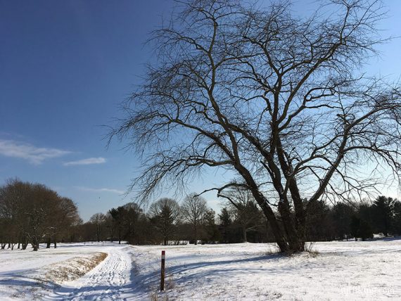
(WHITE on the park map). A field walk that is not marked much (that we noticed). Covers where most of the battle was fought.
From the back of the visitor center, head down the hill.
Near the tree line is a trail marker but that is for the Combs Farm trails for the 2nd part of this hike.
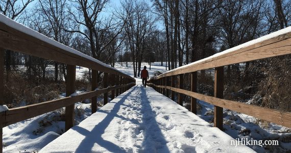
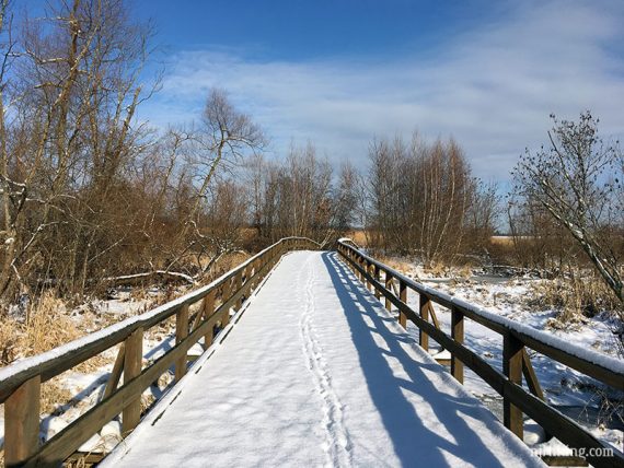
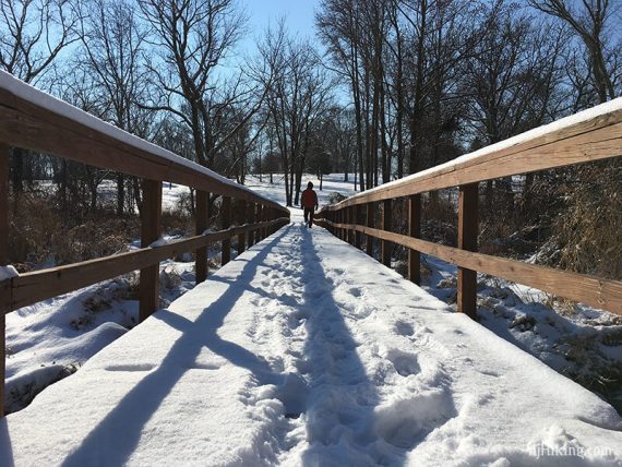
There are two bridges over Spotswood South Brook; we went over the left one.
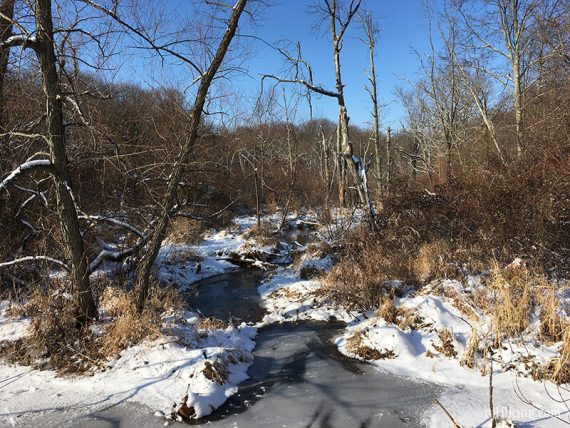
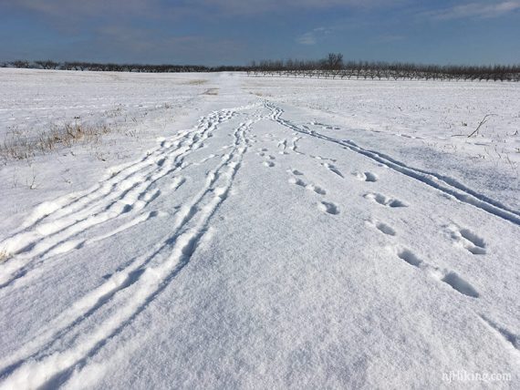
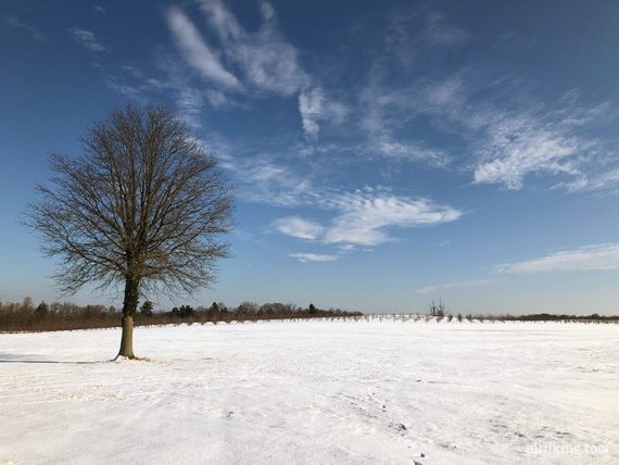
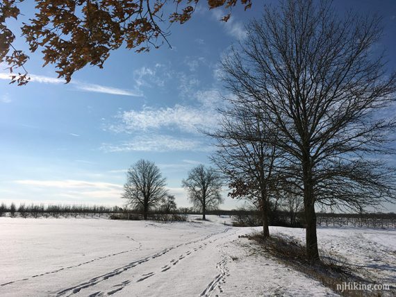
Head out across the field and around an orchard.
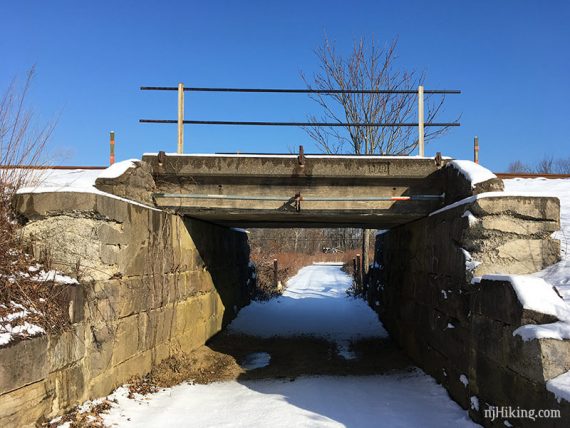
To a railroad bridge over the trail, with Route 522 just beyond. Instead of crossing under the bridge, turn RIGHT well before this and walk across the field.
/// Optional: Going under the railroad bridge leads to the north half of park.
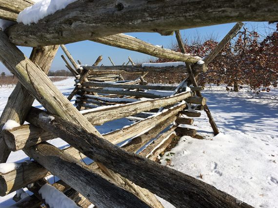
Head RIGHT again towards a wooden fence and two signs explaining the battle.
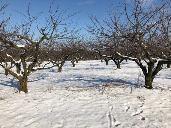
Walk back along the wooden fence at the edge of an apple orchard.
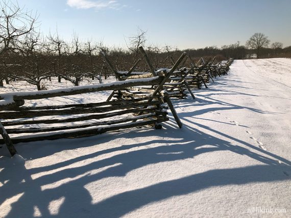
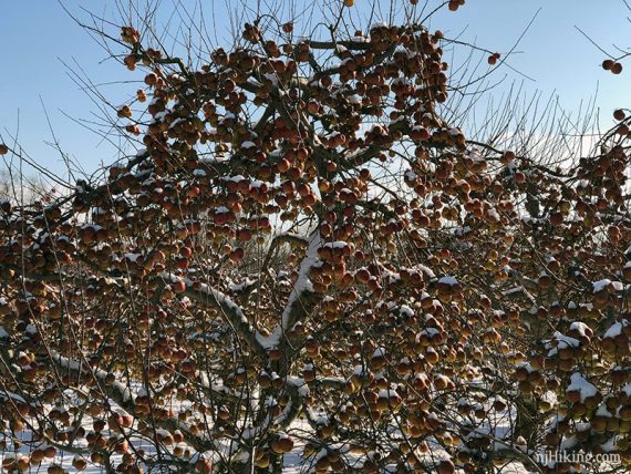

Ok so maybe we took a lot of photos of snowy apples.

At the end of the fence, head to the RIGHT and then turn LEFT over the other bridge and return to the base of the hill.
Walk across the base of the hill back to the tree line and trailhead marker from earlier.
/// Shorter: Just head up the hill to the visitor center and parking lot.
Combs Farm Loop
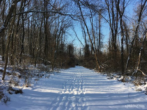
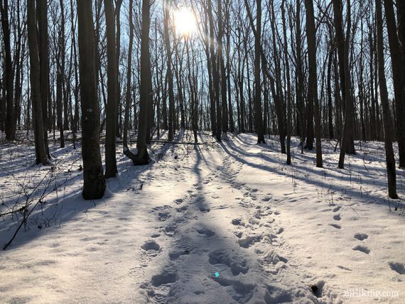
(RED on the park map) – The Combs Farm trails are easy forested paths with four nested loops blazed RED, GREEN, PINK and YELLOW. RED is the longest.
The trailhead is part way down the hill and at the tree line with a plastic wand with all four trail colors on it.
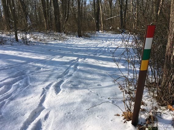
Start following RED as it loops around the forest, passing junctions with YELLOW, GREEN, and WHITE.
RED comes out in the open and out of the forest. It ends at the park entrance road – turn LEFT and follow the road back to the parking lot.
—
Hiked: 12/16/17. In 1-3” snow.
Hiked: 1/30/11. Trailblog: “Monmouth Battlefield State Park – Snowshoe“