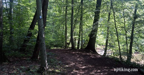
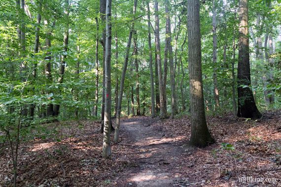
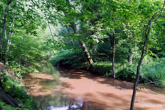
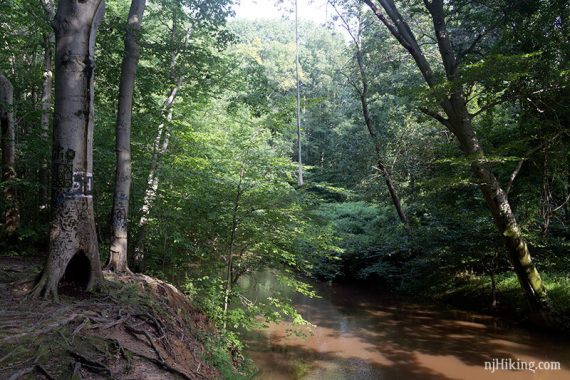
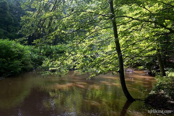
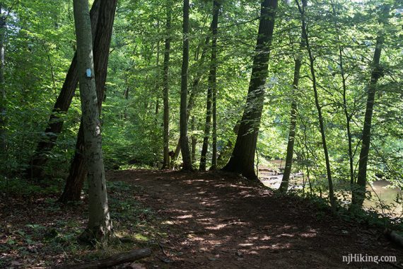
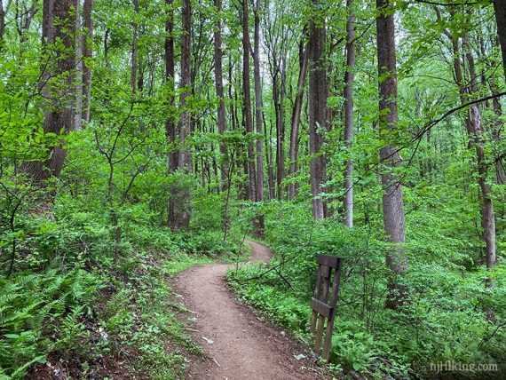
Easy wooded trails with rolling hills and a meandering stream.
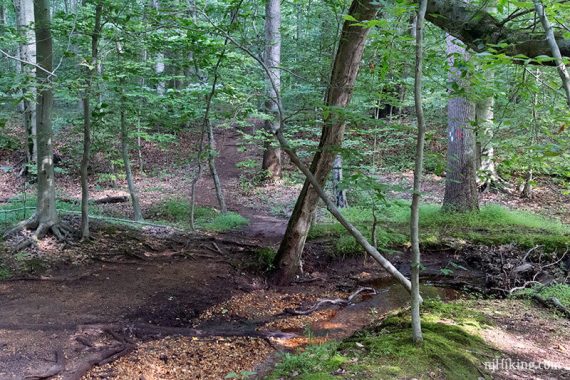
2.4 miles. Easy, dirt with roots, rolling hills.
- Shorter: Many interior trails can be used to cut this short.
- Longer: ~3.8 – add GREEN to WHITE and then follow the park road back to the lot (noted below).
- Longer: Connect to Thompson Park Conservation Area for up to an additional ~5.5 round trip (noted below).
- Nearby: Davidson’s Mill Pond; Farrington Lake Trail; Ireland Brook; Forest Brook; Tamarack Hollow; Van Dyke Farm; John A. Phillips Preserve; Monmouth Battlefield; Plainsboro Preserve; Perrineville Lake Park.
Hike Info:
Our two cents:
Really nice short trail plus the option to continue on into the conservation area to up the mileage.
In addition to an off-leash dog park near the trailhead, the main area of Thompson Park contains a lake, an animal haven, playground, and picnic areas.
Note: There are also trails south of this section, below Schoolhouse Road, called “Thompson Park Conservation Area” (…and the sections now all connect which allows for loops up to around 8-ish miles).
Not to be confused with the Thompson Park in Monmouth County.
Updated: 1/2023 – Minor edits, GREEN no longer connects to YELLOW at steps/bridge, re-hiked. Older change log at page bottom.
Map:
Sometimes there are large printed maps in the trail kiosk, or print ahead in case. Follow along on your smartphone with our Interactive Map link above.
Parking: N40° 20.071′ W74° 26.135′
“Thompson Park Trailhead, Unnamed Road, Monroe Township, NJ 08831”.
Approach from Perrineville Road and turn onto Fir Drive to enter the park. Follow it back to a small gravel parking lot to the left of a fenced dog park. The trailhead/kiosk is at the corner of the lot. Detailed directions on park site.
Restroom:
A restroom building is near the dog run parking lot.
Hike Directions:
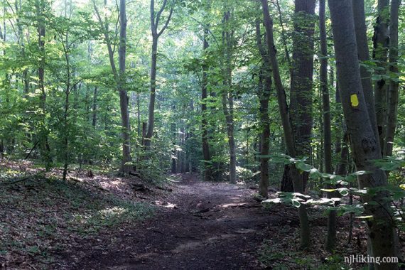
Overview: RED to almost to its end, where its meets BLUE for a 2nd time. BLUE to a right onto YELLOW. ORANGE back to the lot.
0.0 – At the trail kiosk, start following RED. Shortly, keep following RED as it turns RIGHT. [ORANGE starts, and continues straight]
0.5 – Continue on RED [YELLOW goes left]. There’s a marker post with red, yellow, and blue.
0.6 – Continue on RED, passing BLUE on the left.
0.7 – Continue following RED as it turns LEFT. There is a connector trail ahead that leads to Thompson Park Conservation Area but we didn’t spot markers for it, as of 1/2023. On the trail map this connector is marked purple.
Optional Extension, ~5.5 miles: The connector trail leads to Schoolhouse Road and links up with the main Thompson Park Conservation Area trails in about 0.5. Hike the entire Conservation area to add another 4.5 miles and then return to the main park. We’ve not hiked this variation.
1.4 – Manalapan Brook will start coming into view.
Continue on RED [BLUE comes in from the left and is co-joined briefly]. Soon, start following BLUE to the RIGHT [RED leaves to the left].
1.7 – Start following YELLOW, straight, at a slightly confusing intersection. Yellow markers might not be visible for a few steps. [BLUE continues to the left; YELLOW also goes sharp left].
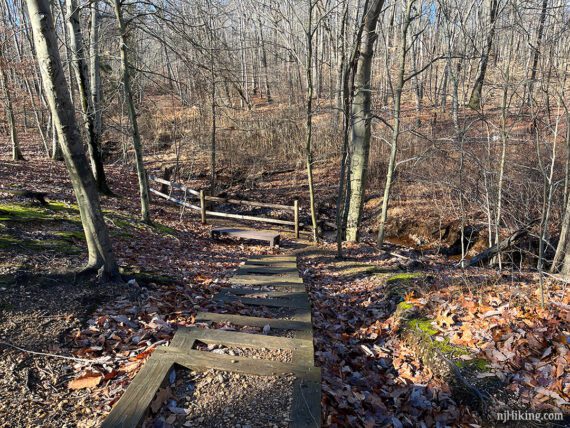
2.0 – Continue on YELLOW, passing the stairs on the right that lead down to a bench and fence (there used to be a bridge here over the stream that linked to GREEN).
Soon, turn RIGHT to start following ORANGE over a small bridge [YELLOW continues ahead].
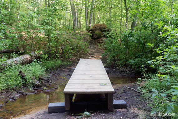
After the bridge, turn LEFT and continue on ORANGE [ORANGE also goes straight and right, though to the right the marker was further in and not obvious right away].
Longer Variation (~3.8 miles round trip) – After the bridge, instead turn RIGHT and follow ORANGE to GREEN to WHITE. Take the park road back to the lot.
Pass RED on the left, continuing on ORANGE to return to the lot.
—
Hiked 1/1/23.
Hiked 1/8/22. Snow w/microspikes; slight route variation; 3 miles.
Hiked 5/24/20.
Hiked 7/13/19.
Hiked 1/19/19.
Hiked 7/30/16. Trail Blog: “Thompson Park – Bridge to Green Trail“
Hiked 1/31/16 – Snow; extended this route. Trail Blog: “Thompson Park in the Snow“
Hiked 2/26/11. Trail Blog: “Thompson Park in February“
Updated: 1/2022 – Park site link update, minor edits; re-hiked slight variation. 7/2020 – minor updates, re-hiked 5/2020. 8/2016 – Video added. 7/2016 – Summer photos added; minor adjustments. 3/2016 – Updated page to reflect that a longer route is now possible and that the trails/blaze colors changed. (ORANGE used to be GREEN). Added photos, GPX, and a more detailed description. 1/2016 – Added link to updated trail map.