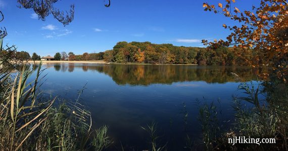
Explore Hooks Creek Lake, Perrine Pond, and an Atlantic white cedar swamp.
4.4 total round trip. Easy, roots but not too rocky; some rolling hills, a few minor steep sections. Many boardwalks over wet, muddy, or marshy areas.
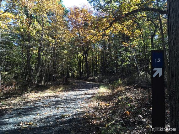
| 4.4 miles | This hike guide: Detailed instructions and photos follow below. |
| Shorter | 3.2 miles – Just the Green Trail. or just YELLOW or RED loops. |
| Longer | 5.7 miles – add a side trip to Steamboat Landing. |
| Same park | Start from a different lot and do White Trail and Arrowsmith. |
| Nearby | John Phillips Preserve; Julian Capik Preserve; Henry Hudson/Bayshore Bike Trail. |
Our two cents:
This loop links three trails in order to explore some of the best parts of Cheesequake State Park. Extend this route with an optional out-and-back to Steamboat Landing for an osprey platform and birding opportunities.
Note: The video includes the old BLUE bridge through the marsh and an old section of GREEN before they were rerouted after storms.
Updated: 10/2024 – Minor edits, re-hiked. Older change log at page bottom.
Hike Info:
Map:
Ranger station and interpretive center should have park maps, or print the map from the park site. Follow along on your smartphone with our Interactive Map link above.
Books:
A similar route can be found in Hiking New Jersey (2023) but the book doesn’t take in account the trail changes.
Other routes can be found in Best Day Hikes in New Jersey, 50 Hikes in New Jersey, Hike of the Week, and 60 Hikes Within 60 Miles: New York City. Detailed trail descriptions found in the The New Jersey Walk Book.
Parking: N40.43608° W74.26553°
“Cheesequake State Park Trailhead”, 287 State Park Rd, Matawan, NJ 07747.
From the Garden State Parkway, take exit 120, follow brown state park signs. Or take Rt 34 to Cheesequake-Morristown Road and turn onto Gordon Rd, and follow into park.
There is a gate and the ranger station on the right. Shortly after is the hikers parking on the left. There is another lot further in the park for the beach and lake.
The hiker lot can get filled to capacity. There may be parking back at the ranger lot. Or, continue on and follow signs to “Hooks Lake” for a very large lot further in the park and connect to trails from there.
The GREEN, RED, BLUE, and YELLOW trails from this lot are foot traffic only. The WHITE biking trail is another area of the park.
Fees: From Memorial Day through Labor Day, see the NJ Park Pass.
Restrooms:
Restrooms at the ranger station and interpretive center, and comfort stations near the campground (seasonal).
Hike Directions:
Overview: YELLOW – RED/GREEN/BLUE – BLUE – GREEN
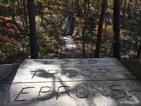
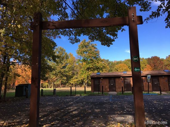
0.0 – The trail starts at the large trailhead sign at the end of the parking lot.
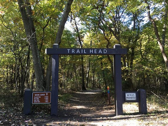
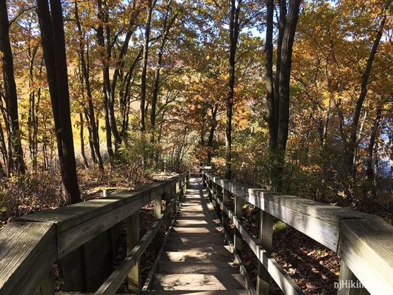
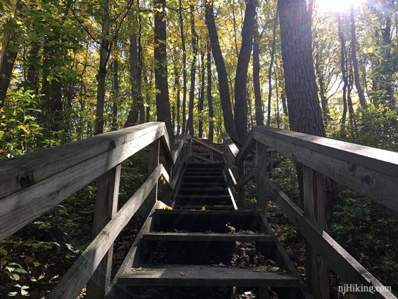
Almost immediately, the trail splits at a set of stairs. Bear RIGHT and start following YELLOW. [On the left, stairs/boardwalks lead down for GREEN/RED].
Follow YELLOW as it curves around.
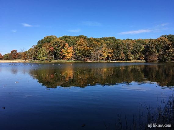
0.2 – At a T-intersection, turn LEFT and continue on YELLOW. [RIGHT just loops back to the lot]. The trail is up on a hill, overlooking Hooks Creek Lake.
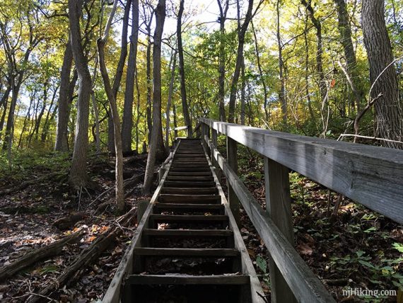
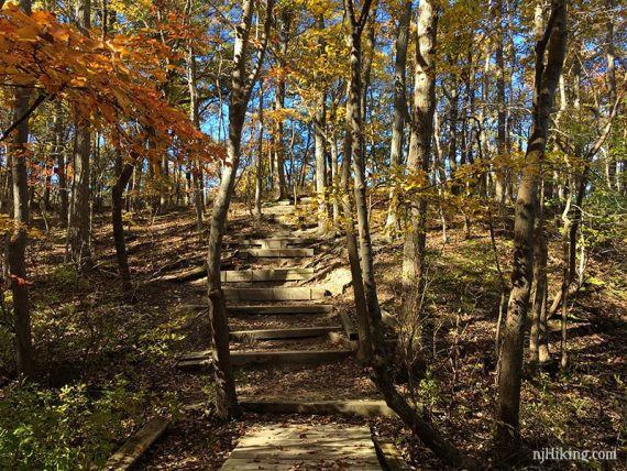
0.4 – Walk down a large staircase.
Turn LEFT at the bottom and start going away from the lake, continuing on YELLOW. Check out the lake first though.
The trail curves around a marshy area.
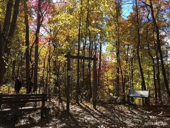
0.6 – Arrive at the bottom of the same staircase you saw at the beginning. Turn RIGHT, go over a bridge and head uphill to the Interpretive Center.
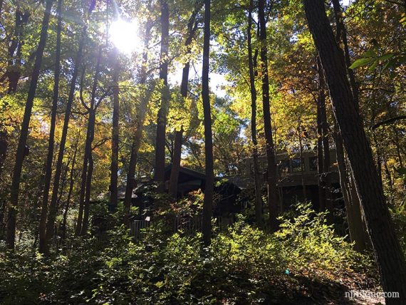
Check out the Interpretive Center and then continue. The trail is marked RED-GREEN-BLUE at this point.
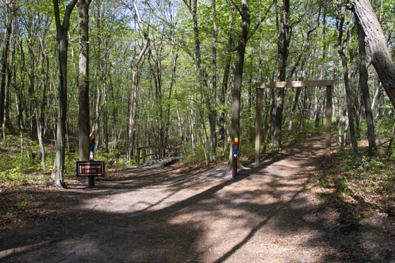
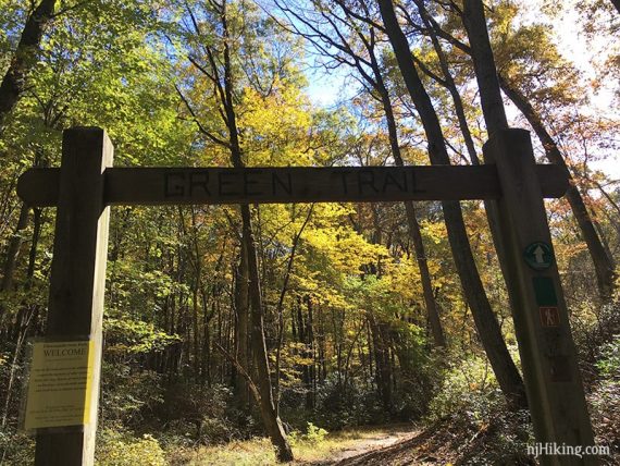
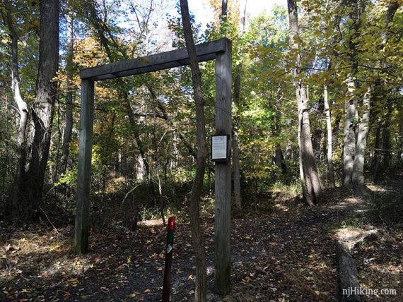
0.8 – Just after going up a long set of stairs is T-junction of BLUE and RED/GREEN, marked with wooden archways.
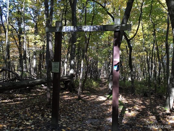
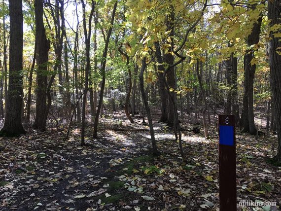
Turn RIGHT and now follow just BLUE. [RED/GREEN goes to the left].
Follow BLUE around, down some steps and over boardwalks to an uphill with large blocks as steps.
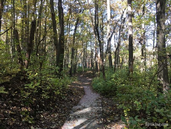
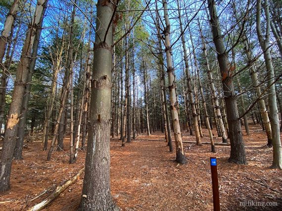
Follow BLUE as it turns left and meanders through the woods.
[The old blue trail went to the right and crossed over the marsh on a boardwalk but was washed away. It can be seen in the video for the BLUE trail embedded on this page].
1.5 – At a sign, continue straight on BLUE as crosses a woods road (it’s Perrine Road, but hard to tell on the trail map).
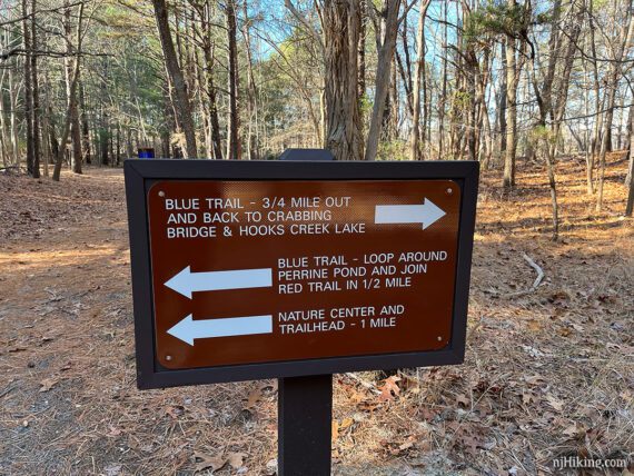
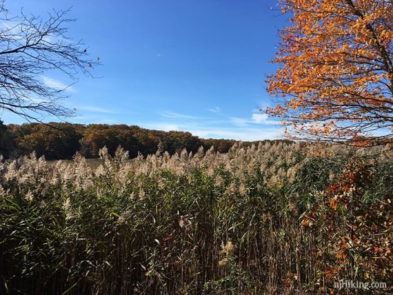
Head over to the bird blind on the left that overlooks Perrine Pond.
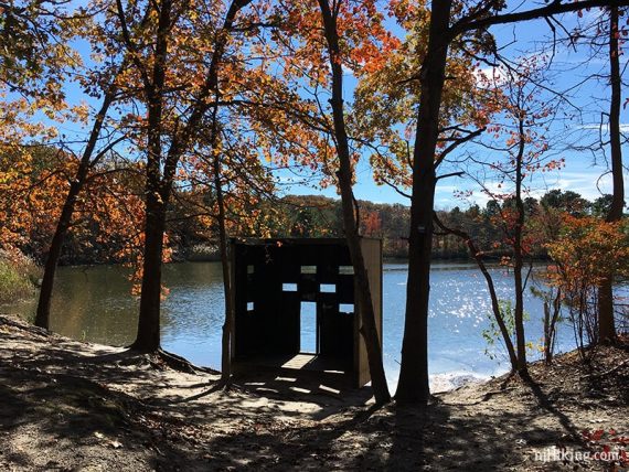
// Optional side-trip: Continue past the blind on the wide sand path till it ends about halfway around the pond for views over a marsh and an osprey nest, then return. This once was the route of the BLUE trail before a section was washed out. //
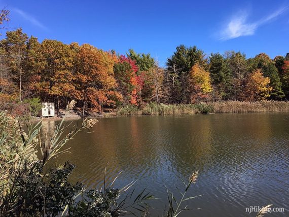
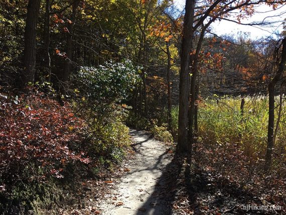
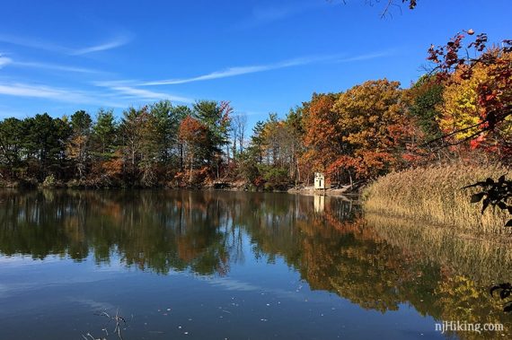
Follow BLUE as it curves through tall stands of trees around Perrine Pond. Many trees have been knocked down from storm damage since this photo was taken.
Looking back at the wildlife blind after continuing around the pond.
Continue following BLUE, passing an interesting tree with visible twisty roots off on the left (BLUE doesn’t technically go to the tree).
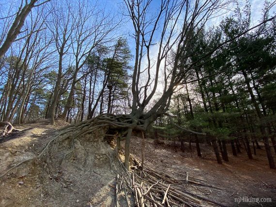
BLUE continues to the end of the lake and then turns LEFT at markers. Head up on a wide gravel path, where the twisty tree will be off the to left again.
1.8 – Turn RIGHT to continue on BLUE, now a wide flat woods road (Perrine Road).
2.0 – Arrive at a 4-way trail junction with wooden archways, a Perrine Road sign, and a bench.
Turn RIGHT so you are facing the trail plaque about the RED and GREEN trails, then immediately turn RIGHT again to start following GREEN (no arch). [RED/BLUE continues to the left.]
[BLUE/RED to the left arch and RED/GREEN under the other arch are shorter ways back to the parking lot].
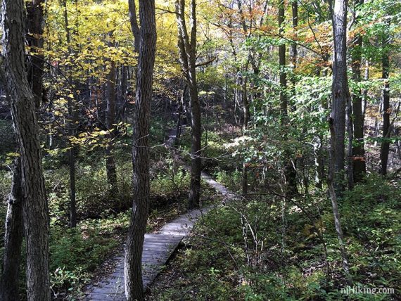
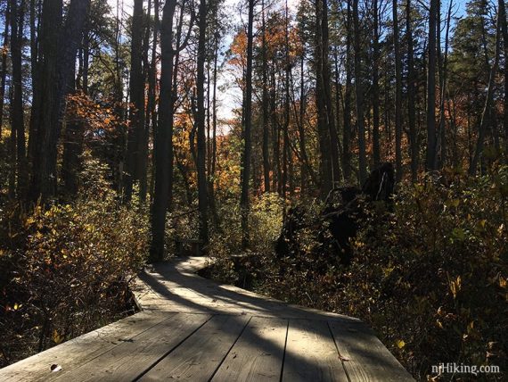
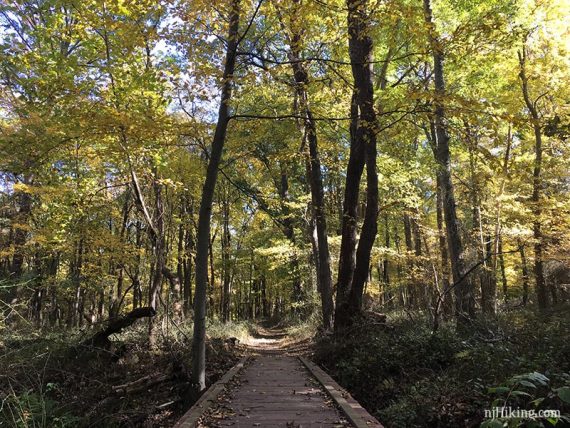
Continue on GREEN down a hill and some steps, and over a long boardwalk over a seasonally wet area.
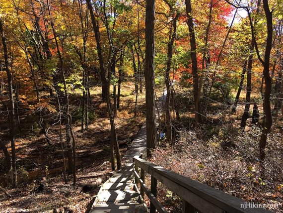
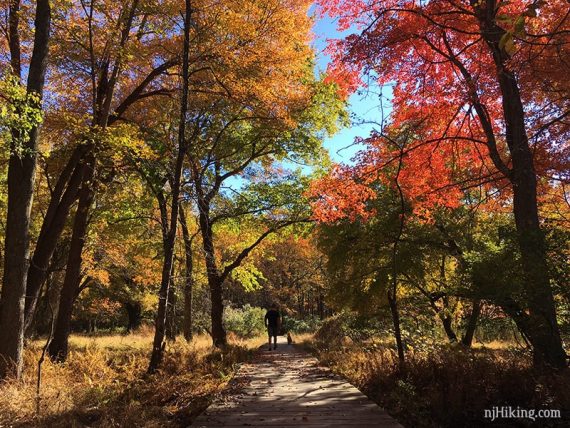
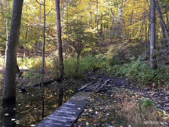
2.4 – Turn RIGHT, following GREEN as it zig-zags over a boardwalk through a cedar swamp.
2.6 – Cross the wide dirt park road (called Museum Rd on the trail map), continuing under the wooden arch for GREEN.
// Optional to Steamboat Landing, out-and-back adds 1.3 total miles: Instead, turn RIGHT on the wide dirt park road (Museum Rd). After the gate, turn RIGHT (Dock Rd). At the end, follow the path through reeds to the edge of Cheesequake Creek. Photos and full directions see Steamboat Landing.
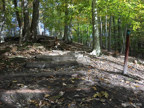
2.7 – The GREEN trail bears left and goes up a steep, root-covered hill and a set of stairs. The trail runs along the back of several business properties and over some bridges.
3.2 – Follow GREEN to the RIGHT when approaching the park road.
3.4 – Turn LEFT on to a long boardwalk and then cross a wooden bridge over a stream.
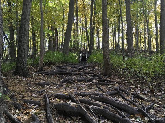
3.6 – After an often wet and somewhat marshy area with a lot of roots, a small observation platform, and logs to cross some muddy areas, the trail heads uphill to the right.
3.9 – GREEN joins the park road near the campground. Turn LEFT and walk along the park road, passing the group campgrounds and comfort stations.
4.1 – Turn RIGHT at the wooden trail arch, now following GREEN/RED/BLUE. Continue past the campgrounds on the right before arriving at the park road.
4.2 – Turn RIGHT on to the park road (Museum Rd) and follow it back to the parking lot.
—
Hiked 10/23/24. Variation; past Lake to crabbing bridge then Blue.
Hiked 2/5/23. Variation; minus yellow, plus Steamboat Landing.
Hiked 12/2/22.
Hiked 11/1/20. Variation; around lake to crabbing bridge.
Hiked 10/31/18.
Hiked: 4/2/16. Trail Blog: “Cheesequake in the Rain“
Hiked: 11/27/09. Trail Blog: “Cheesequake State Park – Blue Trail“
Updated: 2/2023 – Minor edits; added Steamboat Landing info; re-hiked 12/2022. 2/2022 – Minor edits. 11/2020: Re-hiked variation; around the lake to the crabbing bridge instead. 4/2020: Page refreshed, not re-hiked. 11/2018 – Added new fall foliage photos; re-hiked. 4/2016: Revised description to reflect the reroutes of the BLUE and GREEN trails over the past few years. Added new photos. A few scenes in the video show sections of blue and green that no longer exist.