A long route on mostly woods roads to a fire tower, or take it easy with short trails, picnic tables and playgrounds.
9.3 miles. Lots of level woods roads, with some steep sections. This park is multi-use.
| 9.3 miles | This hike guide: Detailed instructions, photos, and video follow below. |
| Shorter | YELLOW, RED, and ORANGE are all under 1.2 miles each and can be used to for smaller loops. |
| Nearby | Allamuchy Pond Trail; Allamuchy Mountain – Deer Park, Allamuchy Mountain – North; White Lake; Jenny Jump – Ghost Lake; Jenny Jump Trail. |
| Nearby Kayak | Lake Aeroflex; White Lake Kayak. |
Map:
This route is now covered on the Morris County Highlands Trails map set and is recommended.
Hike Info:
Our two cents:
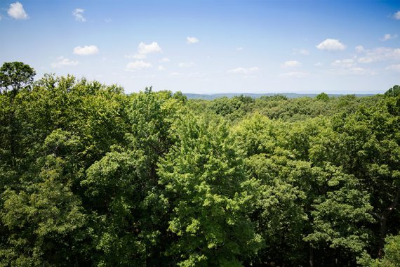
This is a long, remote, mostly shady route through dense forest with a lookout tower in the middle of the hike.
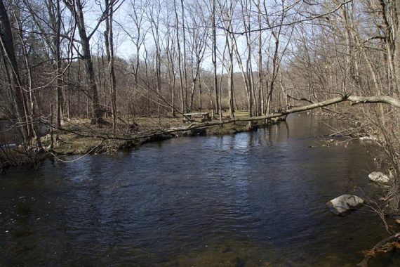
The tower is basically the only view until getting back to the stream at the end.
For that reason we recommended this route only for avid hikers who enjoy simply being in the woods.
Beginners or casual hikers should stick to the shorter trails around the Musconetcong River in the main part of the park.
Updated: 6/2020 – Page refreshed, not re-hiked. 7/2015 – When re-hiking this we were nearly carted off by mosquitoes (despite wearing OFF) towards the later part of this loop.
Also, the route has been adjusted because the section of GREEN that follows the power line was overgrown and full of tall grass and less than pleasant to hike. The change is noted below.
Books:
Trail descriptions appear in the The New Jersey Walk Book, though it does not cover all the trails.
Parking: N40.87367° W74.80542°
From park site: Willow Grove Street (Route 604), 2 miles east of Hackettstown or 7.5 miles west of Route 206 on Waterloo Road (Route 604).
Rest rooms:
In the parking lot.
Hike Directions:
Overview: ORANGE – WHITE – GREEN – PURPLE – GREEN – WHITE – RED/WHITE – RED
Make sure to have a trail map, especially for the PURPLE loop area.
There are multiple unmarked trails throughout the park are too numerous to mention.
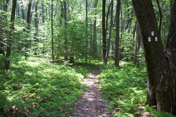
The trails are well blazed in this park for the exception of PURPLE which may be missing a key blaze at an intersection.
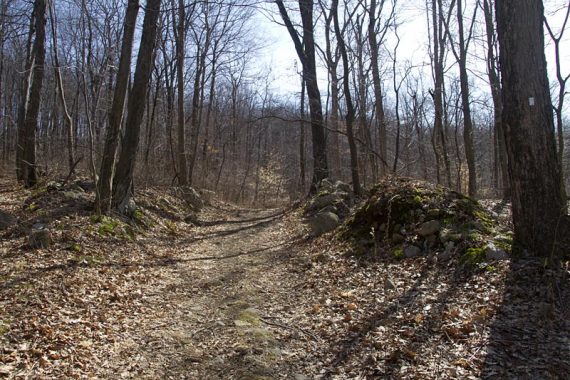
Note: The first mile of so of this hike heads steeply and steadily uphill.
0.0 – From behind the ranger station, start following ORANGE.
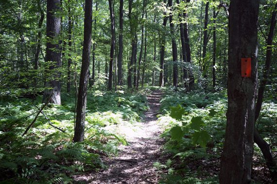
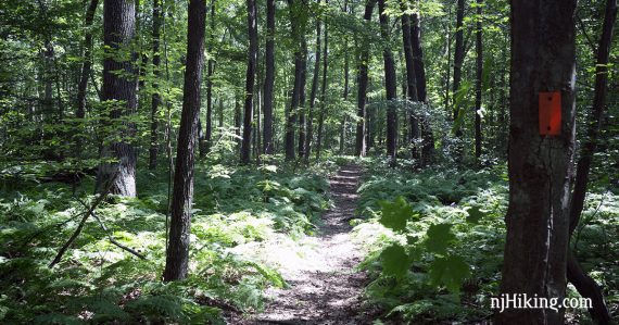
0.7 – Turn RIGHT onto the start of WHITE and now follow WHITE.
1.7 – Bear RIGHT continuing on WHITE. [BLUE starts on the left.]
2.0 – Turn LEFT continuing on WHITE.
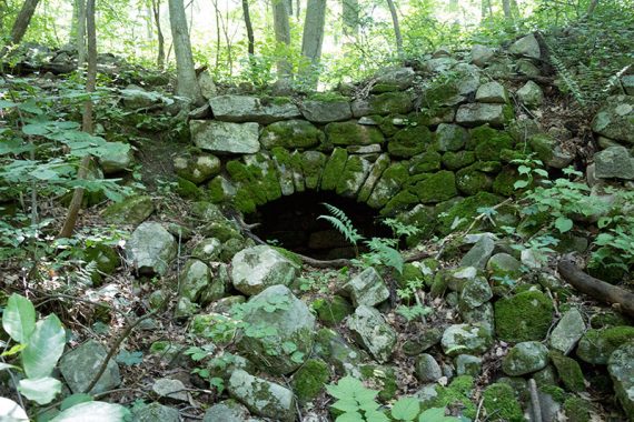
2.2 – Continue on WHITE. [BLUE starts on the left]. Remains of a chimney on the left are easily missed when leaves on the trees, but can be seen better from a few steps down the BLUE trail.
3.7 – Turn LEFT onto GREEN/WHITE. [GREEN goes to the left]
[Note: The route has been changed from this point to avoid two mostly awful sections that follow a power line, but we have not hiked this exact way to verify the description.
Looking at the Morris County Highlands Trails, this intersection is near the parking area on Station Rd.
The old route (and the most obvious way to make a loop) would be to make a RIGHT onto GREEN instead, through that parking lot, and then follow along power lines twice, before turning on PURPLE.]
Shortly – Turn RIGHT and now follow just GREEN.
4.4 – Turn LEFT to start following Fire Tower Loop (PURPLE).
The PURPLE blaze may be missing at the intersection, but should be a bit down the trail.
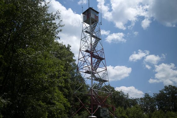
4.5 – Arrive at the fire tower.
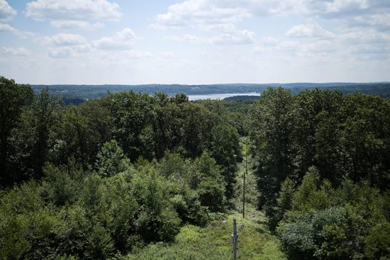
View from the tower – the “gap” of the Delaware Water Gap is visible from the tower but can be hard to see.
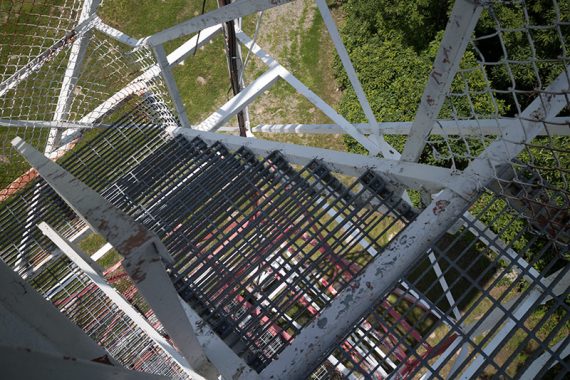
Looking down the fire tower steps.
Retrace PURPLE back to GREEN.
[The PURPLE trail continues on the other side of the tower by a utility pole with a marker on it, but this route no longer uses that]
4.6 – After retracing PURPLE back, turn RIGHT and now follow GREEN.
5.3 – Turn RIGHT onto WHITE, now following WHITE. [WHITE/GREEN goes to the left]
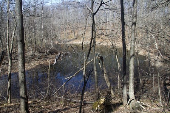
7.2 – Continue on WHITE. [PINK (Maze Loop) is on the right.] A small pond is nearby.
Not long after the PINK trail, keep an eye out for WHITE markers turning LEFT.
8.6 – Turn RIGHT to start following RED/WHITE. [WHITE ends, and RED/WHITE goes both left and right… either direction will go back to the lot]
9.0 – The RED/WHITE trail ends at RED near a picnic area.
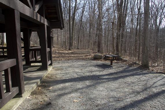
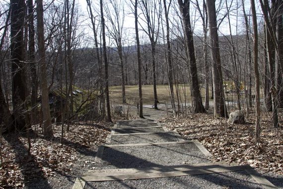
Turn RIGHT onto RED which goes along the Musconetcong River and back to the parking lot. [RED goes left and right and both lead back to the lot].
Hiked: 7/11/15.
Hiked: 3/20/11. Trail Blog: “Stephens State Park – White Loop and Fire Tower“