Pleasant, easy hiking along the Maurice River with a chance to spot a bald eagle.
3.1 or 1.6 miles, easy; dirt; soft sand and pine needles; few hills.
| 3.1 miles | This hike guide: Detailed instructions and photos follow below. |
| Shorter | 1.6 – Skip the Red Cedar Overlook trail. Noted below. |
| Very nearby | Drive to the other side of the river to explore the larger trail system at Maurice River Bluffs. |
| Nearby | Commercial Township Wetlands; Parvin State Park; Belleplain S.F.; Belleplain S.F. – East Creek and Sunset Road Loop; Estell Manor Park. |
Our two cents:
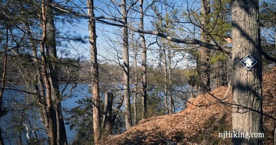
Nice, easy hike with a bench at Jenkins Landing and an observation boardwalk past that.
As if on cue, a bald eagle flew overhead just as we arrived at Jenkins Landing. There probably is a decent chance of spotting one here… which is always very cool.
Note: Red Cedar Overlook (RED) trail from its junction with the grey trail (the dotted red line on the trail map) is closed from January 1 through July 31 due to a Bald Eagle nest. Use the shorter 1.6 mile hike version during that time.
Updated: 1/2025 – Page refreshed, trail color added to the description to reflect the trail map; removed link and mentions of the mobile app (no longer available); not re-hiked. 4/2020 – Page refreshed, not re-hiked.
Hike Info:
Map:
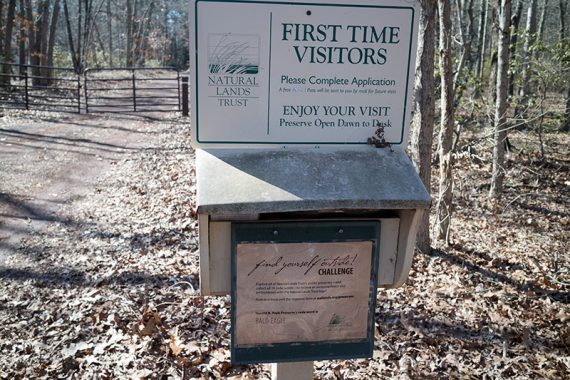
Paper map at the trailhead, but it’s always a good idea to print ahead anyway. The park map has been updated slightly since we hiked this, and there are now trail colors along with names. Follow along on your smartphone with our Interactive Map link above.
Parking: N39.37564° W75.02630°
“Entrance to Harold Peek Preserve”, 1400 S 2nd St, Millville, NJ 08332. Note: If just using the numbered address and not the phrase, Google might direct to the middle of the preserve via back streets and walking in, or to a point past the entrance.
From Rt 55 south take exit 24, towards Millville via Rt 49/Main Street. Left on 10th Street, left on 2nd Street to the entrance road on the left, which should have a Natural Lands sign.
Drive down the entrance road to a dirt parking area with room for maybe 5 cars. There is another parking area by the visitor center but the gate was locked; unsure when/if that is open.
Restrooms:
Composting toilet in the center of the park. It’s at the end of the access road near the visitor center – not at the parking or trailhead.
Hike Directions:
Overview: River Overlook (YELLOW)/Red Cedar Overlook (RED) — River Overlook (YELLOW) — Jenkins Landing (PURPLE) — River Overlook (YELLOW) — Unmarked — Red Cedar Overlook (RED) — Red Cedar Overlook (RED)/River Overlook (YELLOW)
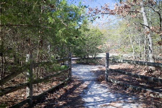
0.0 – From the parking area, walk past the gate and down the access road. River Overlook (YELLOW) and Red Cedar Overlook (RED) trails are co-joined.
0.3 – Turn RIGHT onto River Overlook (YELLOW). There is a kiosk and fencing.
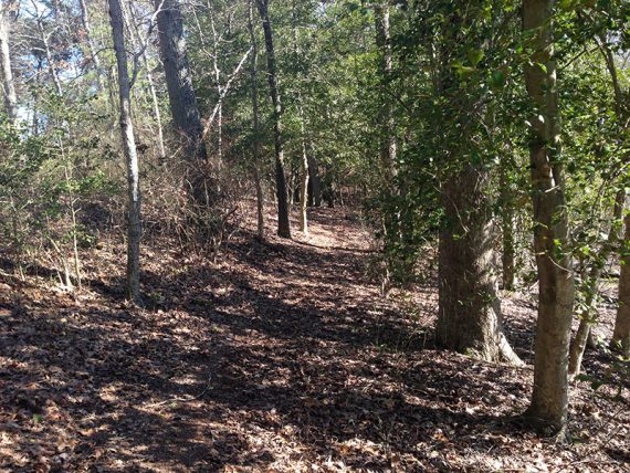
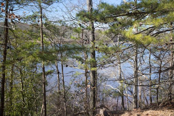
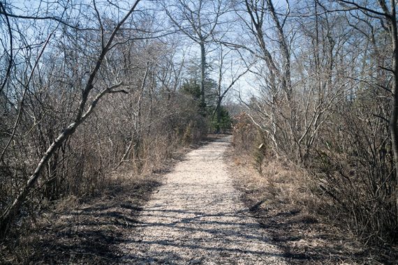
River Overlook (YELLOW) is a forested trail with places to spot the river.
0.6 – The River Overlook (YELLOW) trail is an out-and-back section, so at the end turn around and retrace the route out.
When we hiked here in early 2016, the paper map showed a loop at the end of this and while the trail sort of continued, the markers stopped near a sign for the preserve. The phone app showed this section as out–and-back and a loop.
So… we just turned around and retraced the route. An updated trail map came out after our hike, removing the loop section – aha. (We’d wandered around, and down a trail over to solar panels but couldn’t locate the proper route. On the backtrack we noticed what probably used to be the other part of the loop, with branches piled up indicating not to go that way.]
0.8 – River Overlook (YELLOW) splits; turn RIGHT – there is a marker, though we did not notice it on the way in. [Left leads back to the parking lot].
1.0 – Arrive at a T-intersection and turn RIGHT to now follow Jenkins Landing (PURPLE).
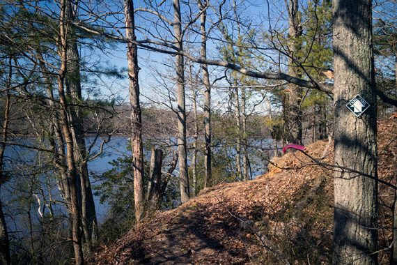
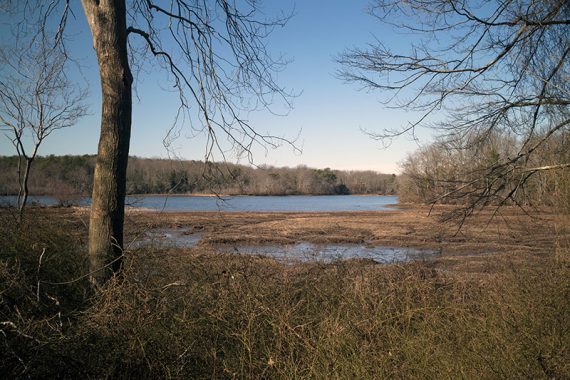
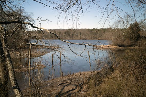
Soon, a large sign for “Jenkins Landing” is partially covered by brush on the right. There was a bench with a view of the Maurice River.
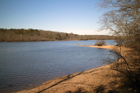
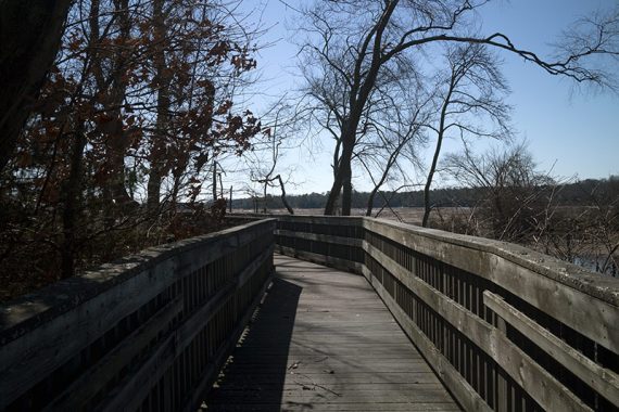
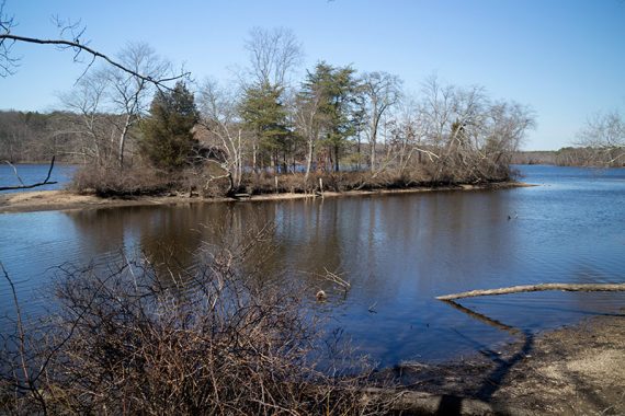
Continue walking past this area to a boardwalk that leads to an observation platform. An old shack may be visible on the island across the way.
1.1 – Retrace the route back on Jenkins Landing (PURPLE) to the junction with River Overlook (YELLOW).
1.2 – At the intersection turn RIGHT to now follow River Overlook (YELLOW). [This also goes left, back the way you came].
1.3 – Arrive at shed, house (visitor center), and small parking lot. Veer LEFT towards the composting toilet to take an unmarked path.
1.4 – At a T-intersection, turn RIGHT and now follow Red Cedar Overlook (RED).
// Shorter, 1.6 miles total: Instead, turn LEFT to skip this loop and head back to the parking lot, following Red Cedar Overlook (RED) back. Use this version Jan 1 – Jul 31.
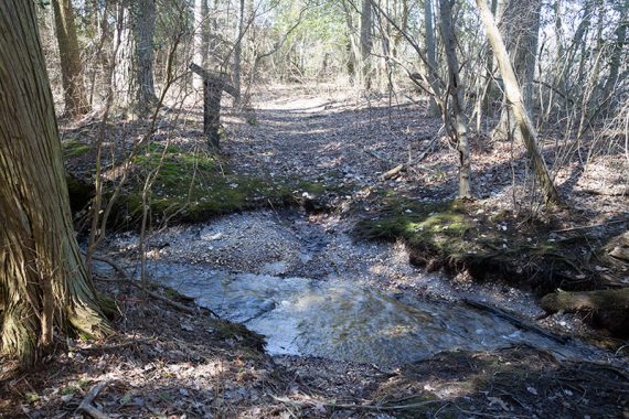
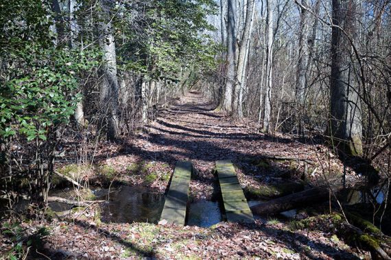
1.8 – The trail splits but it’s a loop so either way you’ll end up back here. We veered RIGHT. There is a small water crossing.
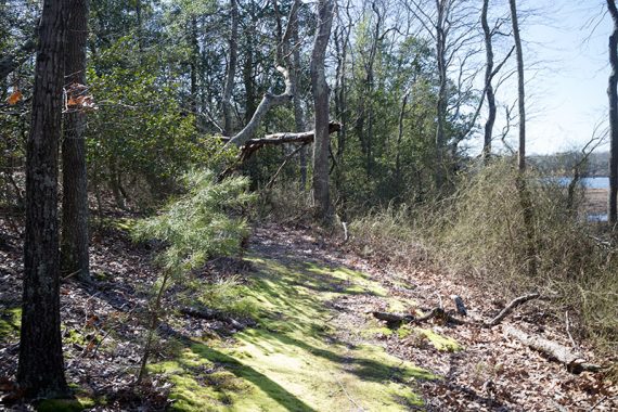
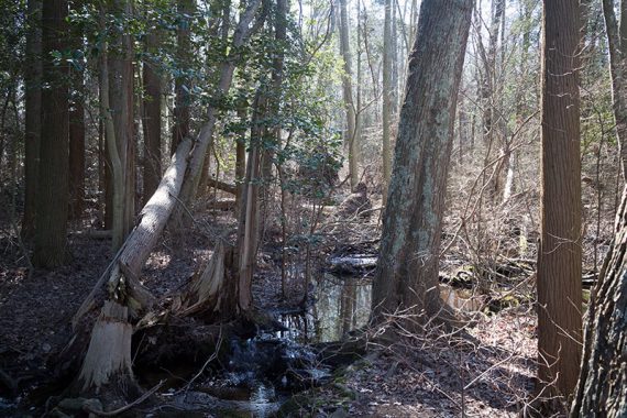
Atlantic white cedar swamp on the Red Cedar loop:
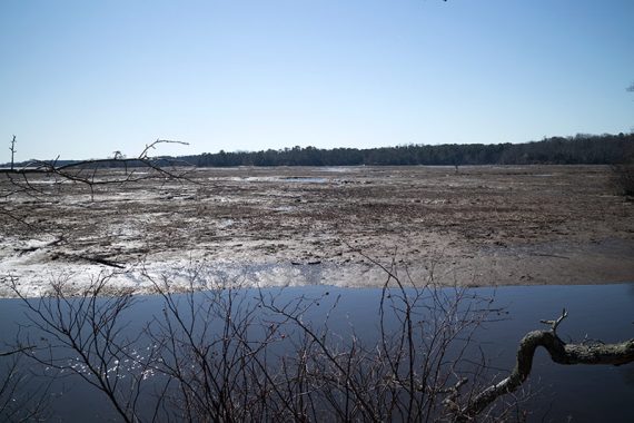
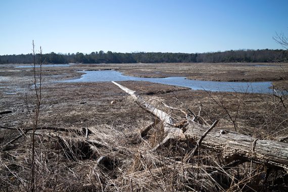
2.1 – At the far end of the loop is a view over a wild rice marsh. Continue following the loop around, passing where it split, passing the unmarked trail until arriving back at the access road.
2.8 – Turn RIGHT and follow the access road back to the parking area, where River Overlook (YELLOW) and Red Cedar Overlook (RED) trails are co-joined.
—
Hiked: 2/28/16. with B, T, & A.