From a historic grist mill, this short hike winds through forest past Swartswood Lake.
1.1 miles, total round trip. Mostly easy with a hill to climb and descend.
| 1.1 miles | This hike guide: Detailed instructions and photos follow below. |
| Same park | Swartswood S.P. – Spring Lake |
| Nearby | Catfish Fire Tower; Culvers Gap to Culver Fire Tower; Culvers Gap to Blue Mountain; Kittatinny Valley State Park; White Lake Natural Resource Area; Stokes – Blue Mountain Loop; Blue Mountain – Red Maple Trail; Paulinskill Valley Trail – Cedar Ridge to Aqueduct; Paulinskill Valley Trail – Warbasse Junction to Cedar Ridge; Great Valley Trail Loop. |
| Nearby Kayaking | Swartswood Lake (this park); White Lake Kayak; Lake Aeroflex Kayak. |
Our two cents:
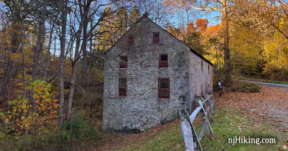
Check out the grist mill (in the parking area, no hiking required) then get in a short loop winding through a forest with a peek at the southwestern end of Swartswood Lake and Snake Island.
Make it really short-n-sweet… instead, turn right at the trailhead and just meander along the stream a bit and back.
Combine with another hike at this park that is just a short drive away: Swartswood S.P. – Spring Lake.
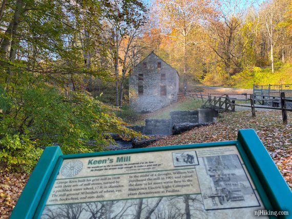
Fun Fact: George Keen built the grist mill in 1838. A 17-foot-wide water wheel turned three mill stones to produce 50 bushels of grain daily.
Hike Info:
Map:
The park office had maps (less than 10 min. drive) or print one ahead. Follow along on your smartphone with our Interactive Map link above.
Parking: N41.05931° W74.85340°
Grist Mill Trailhead, Newton, NJ 07860. Small gravel lot next to the mill. Trail starts past the spillway.
Fees: From Memorial Day through Labor Day, see the NJ Park Pass. Note that this applies to the main parking area where the park office is but not this trailhead lot.
Restrooms:
Not at the parking lot, but a boat lot just past this might have a composting toilet. Restroom at the park office.
Hike Directions:
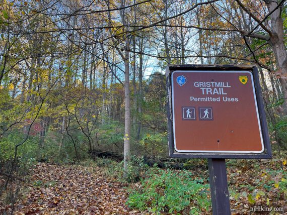
Overview: YELLOW (Grist Mill)
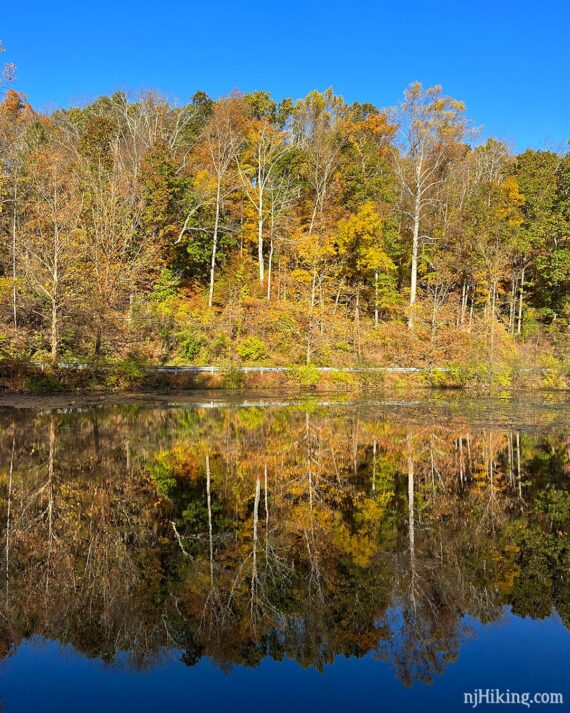
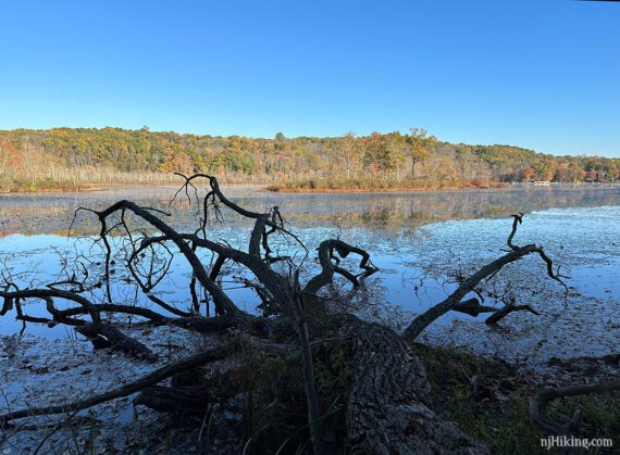
The very southwestern end of Swartswood Lake can be seen from the parking area. The fall foliage was reflecting quite nicely on the day we hiked.
0.0 – From the parking lot, walk across the bridge over the spillway.
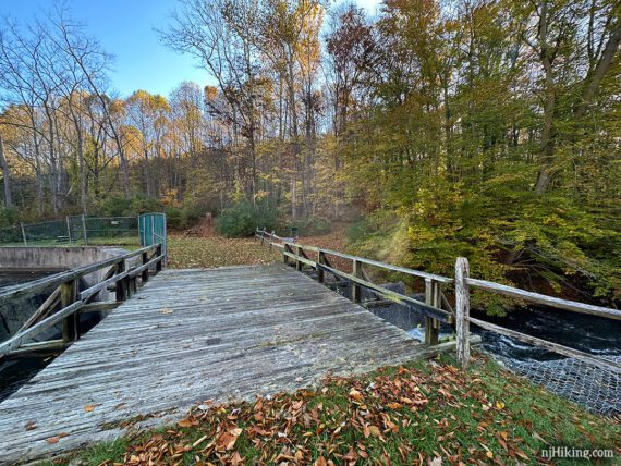
Turn LEFT at the trail sign to start following YELLOW (Grist Mill). [YELLOW (Grist Mill) also goes right and is the return route].
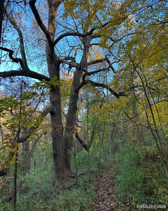
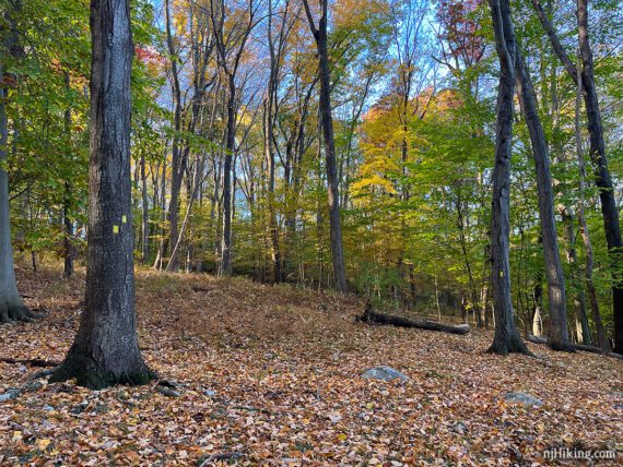
YELLOW (Grist Mill) parallels the end of Swartswood Lake, with a few large impressive trees.
Continue on YELLOW (Grist Mill) as it approaches the lake.
0.4 – View of Swartswood Lake and Snake Island. Don’t know why it’s named “Snake Island” but it’s likely someone encountered a snake on it at some point.
Continue on YELLOW (Grist Mill) as it moves away from the lake and begins to climb a hill. Follow the trail as it turns to the right and briefly levels off.
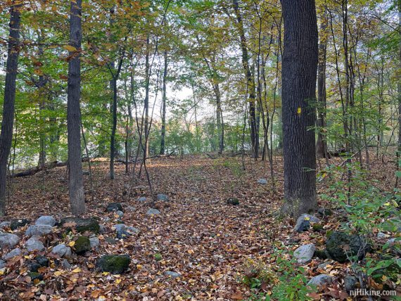
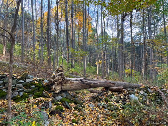
0.6 – YELLOW (Grist Mill) goes through a break in an old stone fence with a tree right on top of it.
Soon after this, the trail starts to head back downhill.
1.0 – Follow YELLOW (Grist Mill) as it turns to run along a pretty stream.
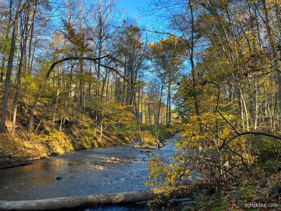
The trail continues back towards the grist mill where there is a sign about the mill.
—
Hiked: 10/22/22.