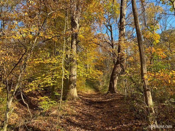
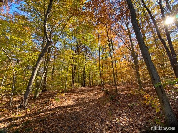
The Sierra Trail winds through woods along the shores of Lake Surprise and through the Deserted Village of Feltville.
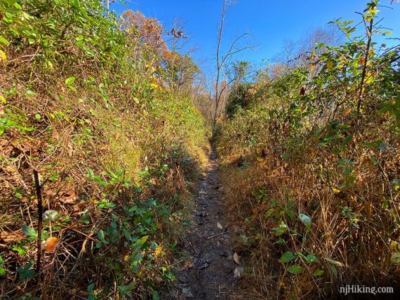
11.0 miles. Trail surface ranges from mild wide paths to roots and rock-filled trail.
- Shorter: Network of trails offers plenty of shorter hike options.
- Same trailhead: Watchung Reservation – History Trail.
- Nearby: South Mountain Reservation – Hemlock Falls via Lenape and Rahway; Hemlock Falls Loop; South Mountain Fairy Trail; Great Swamp NWR; Great Swamp – Blue Trail; Great Swamp – Orange Trail.
Hike Info:
Our two cents:
Get a long hike in with easy navigation (one blaze color and well-marked throughout) plus interesting bits like the Deserted Village of Feltsville, a cemetery, and Lake Surprise along the way.
The extensive trail system offers plenty of bail-out opportunities to cut the hike shorter. Considerable traffic noise in many areas. This is more of a take a stroll/jog, have a picnic, walk the dog kinda park.
The fall foliage tends to peak early to mid-November so this is a good choice for something later in the season, after much of New Jersey is past peak.
Bonus: Mostly no hunting – except for certain weekdays between Oct. and mid-Feb; see our page for Union County/Watchung schedule.
Updated: 2/2023 – Page checked, minor edits; not-rehiked.
Map:
On the park site to print ahead, possibly brochures at the park. The latest map (9/24/21) has the trail colors marked on it but is harder to read than the prior version. Follow along on your smartphone with our Interactive Map link above.
Books:
A very similar route and map can be found in Hiking New Jersey (2023), and includes detailed mileage markers. A 6.5 mile version is in 50 Hikes in New Jersey.
Other routes are in Best Day Hikes in New Jersey, 60 Hikes Within 60 Miles: New York City and Best Day Hikes Near New York City. A detailed trail description is found in the The New Jersey Walk Book.
Parking: N40.68340° W74.37297°
“Trailside Nature & Science Center”, 452 New Providence Rd, Mountainside, NJ 07092. Detailed directions from various approaches found on the park site.
Restrooms:
Inside the Trailside Nature Center at the main parking lot. Other restrooms were open earlier in a nearby building, follow the sign at the end of the parking lot near the museum. If facing the Nature Center, these are off to the right.
Restrooms are mid-way through the hike around the back of the Village of Feltville Store/visitor center. Portable toilets shown on the trail map may be a seasonal.
Hike Directions:
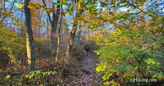
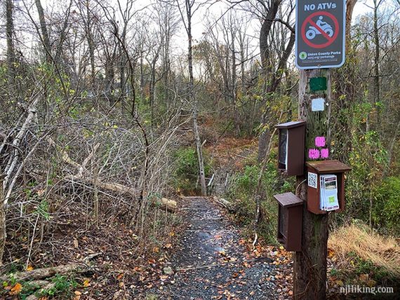
Follow Sierra Trail (WHITE) for the entirety of this well-marked route. For that reason, we’ve only listed key points in our trail description below.
0.0 – From the parking lot, with your back to the Trailside Nature Center, turn RIGHT on the road at the edge of the lot. Follow this park road for just a bit, then turn LEFT at the trail post marked with WHITE, GREEN, and PINK blazes to start following the Sierra Trail (WHITE).
0.4 – Don’t cross the wooden bridge. Turn LEFT to continue following Sierra Trail (WHITE).
2.3 – The Sierra Trail (WHITE) continues past the Sky Top picnic area and crosses the park road. The trail heads steeply downhill.
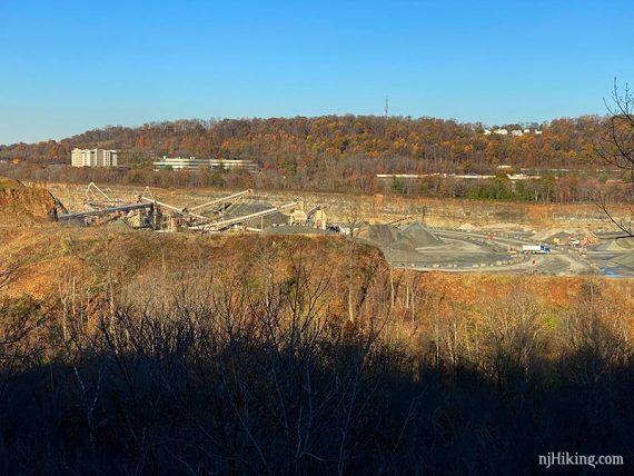
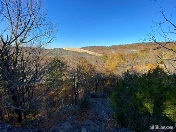
3.4 – View on the right, over the nearby quarry. Sierra Trail (WHITE) continues downhill.
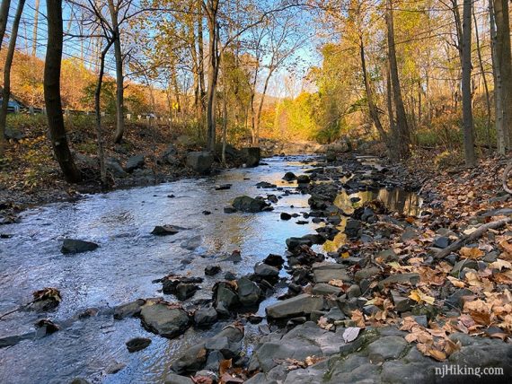
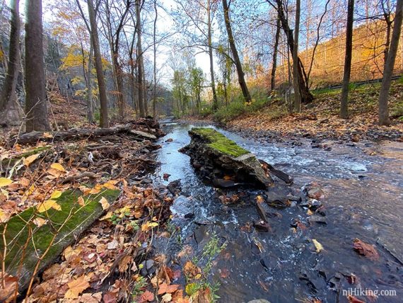
At the bottom of the hill, the trail turns right and follows a stream with cliffs on the right, and the remains of an old paper mill. There is a lot of road noise in this area.
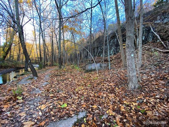
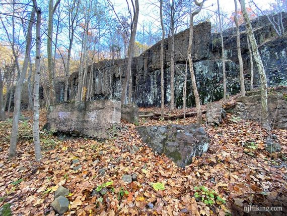
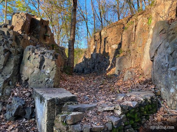
Basalt rock formations and an old rock wall.
4.2 – Another viewpoint, with the quarry visible.
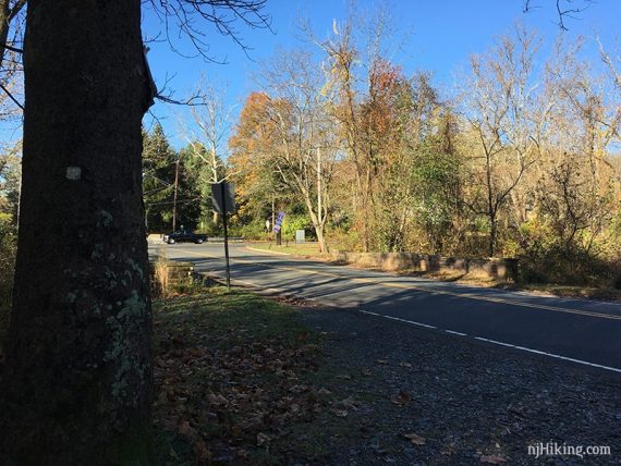
4.7 – At Skytop Drive, turn LEFT and walk along the side of the road a bit (there’s a marker on the stone guardrail), then cross the road.
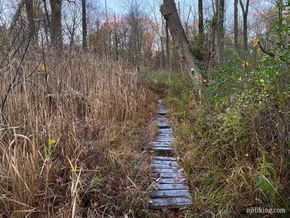
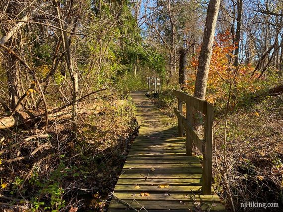
The trail continues on the grass a bit before re-entering the woods and crossing a boardwalk before a narrow section of trail
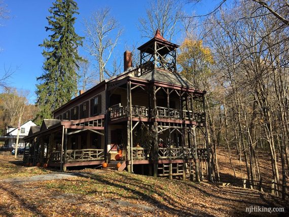
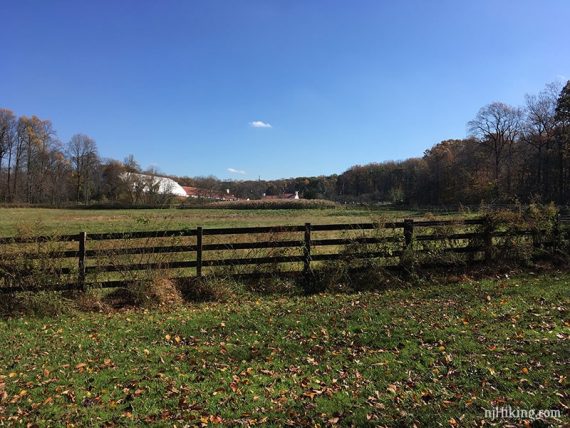
5.7 – Paved path through the Deserted Village of Feltville. There are informational plaques about the various buildings (a few are private residences).
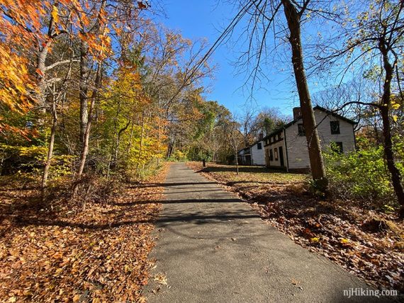
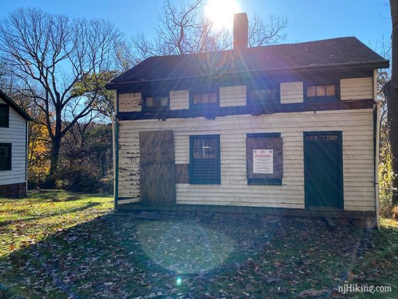
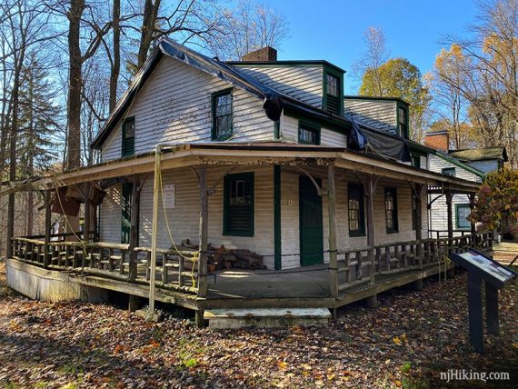
The largest and most restored building is the Village Store / Visitor Center. Restrooms are located around back, where there is a small shortcut to the cemetery.
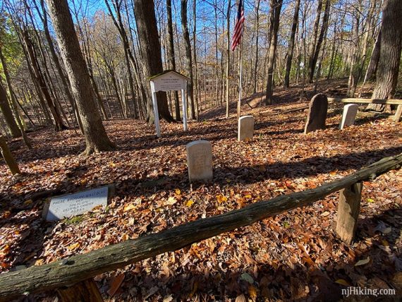
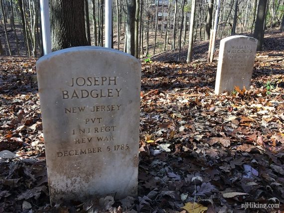
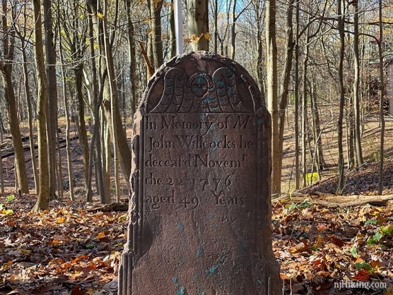
6.2 – After the Village the trail loops around past the small Willcocks and Badgley Cemetery.
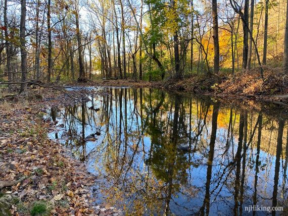
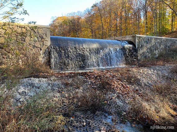
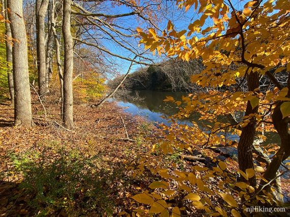
6.7 – Lake Surprise. There is a short side trail to a dam with water falling over it.
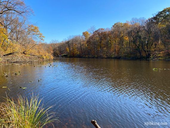
Sierra Trail (WHITE) continues along the edge of the lake. There are a few benches.
7.5 – Turn right along the road and walk over the bridge. Sierra Trail (WHITE) continues across the street from a small parking area for the Lake Surprise boat launch.
This section is mostly wide bridal paths. Eventually the Sierra Trail (WHITE) skirts a fence for a stable.
9.3 – Come to a roundabout and follow the blazes for the Sierra Trail (WHITE) to cross a busy road.
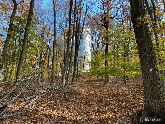
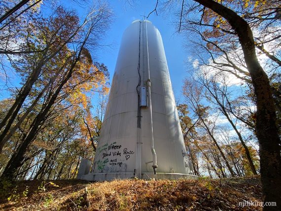
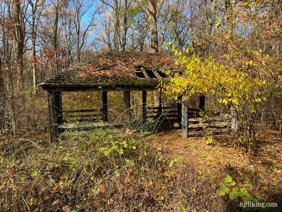
9.8 – Sierra Trail (WHITE) continues around a water tower and then a old park pavilion.
10.3 – At a parking area, cross the road and continue following Sierra Trail (WHITE). End up at the Trailside Museum entrance, walk around back to the lot.
—
Snowshoed: 2/20/21. 2.8 miles. Trail Blog: “Snowshoeing at Watchung Reservation“
Hiked: 11/2/2019.
Hiked: 12/12/2009. Trail Blog: “Watchung Reservation – Sierra Trail“
Hiked: 11/26/2004. 7.4 miles.