Hike through forests, pines, open fields, and along the Six Mile Run.
4.4 miles. Easy to moderate trail surface, some small hills.
- Longer: 6 miles: Keep on RED to where BLUE starts, then retrace.
- Even Longer: Continue on RED to Jacques Lane, or pick up BLUE for 4.9 more miles one way.
- Other trailhead: Six Mile Run – Canal Road.
- Nearby: Negri-Nepote Native Grassland Preserve; Griggstown Grassland; Butler Road Natural Area; Bunker Hill Natural Area; Sourland Mountan Preserve.
- Nearby: Biking: D&R Canal – Blackwells Mills to Demott Lane; and D&R Canal Kayak – Blackwells Mills.
Hike Info:
Our two cents:
Keep a heads up for bikers, there can be a lot. We’ve been here in frigid temps and seen quite a few – even encountered one in deep snow on fat tires.
We recommend skipping the ORANGE trail even though it’s an obvious choice to make a loop and not have to retrace your route.
It passes through a very nice area of pine trees but the trail has been created for biking and is very twisty – almost looping onto itself in places –and found it tedious to hike.
Updated: 1/2024 – Updated park link. 3/2020 – Refreshed page, added interactive map. Older change log at page bottom.
Map:
Print out a map ahead, nothing at the trailhead.
Books:
A different route in this park is in Best Day Hikes in New Jersey, and a brief description found in the The New Jersey Walk Book.
Note: The video includes the entire longer original hike.
Parking: N40.45645° W74.51399°
There are 3 parking areas. This hike starts from the large parking lot on Rt. 27 South, on the right side, a few streets down from Rt 608/Cozzens Lane, there is a brown trail sign.
There is also a parking area on Jacques Ln, and the main park office on Canal Rd (check the trail map).
Restrooms:
There may be a porta-john in the Rt 27 parking lot. Canal Road lot has a porta-john. The Jacques Ln lot had nothing.
Hike Directions:
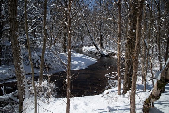
Overview: This hike is an out-and-back on RED (Creek Trail).
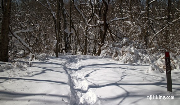
0.0 – RED (Creek Trail) starts on the left corner of the lot (if your back is to the road).
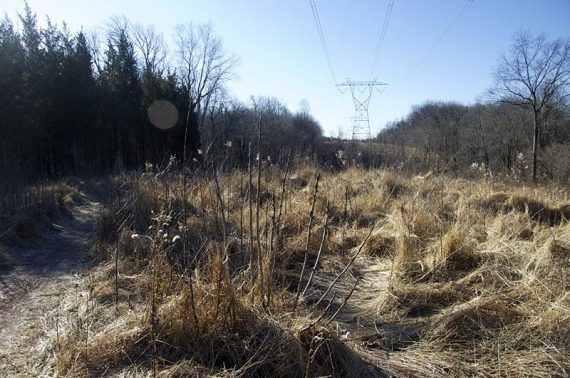
0.7 – Shortly after passing a power line clearing, turn left and continue following RED (Creek Trail). [ORANGE (Twisty Trail) goes straight here.]
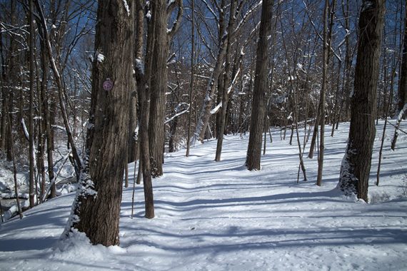
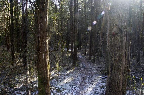
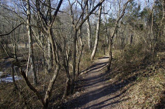
Continue through an area of dense pine trees.
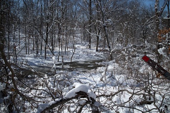
1.5 – Continue following RED (Creek Trail). [ORANGE (Twisty Trail) comes in from the right]. Cross a wooden bridge shortly after.
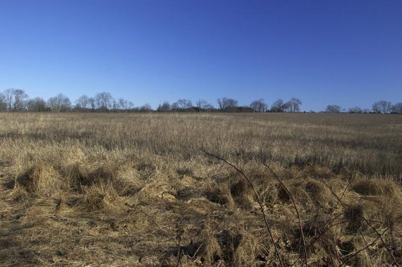
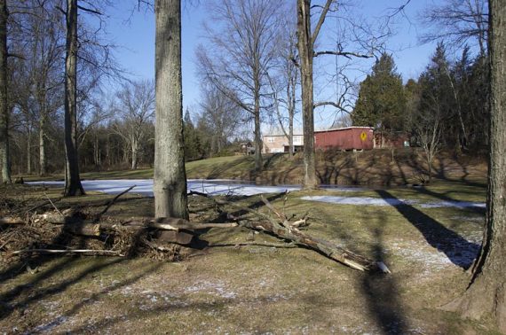
Skirt the edges of fields along the way.
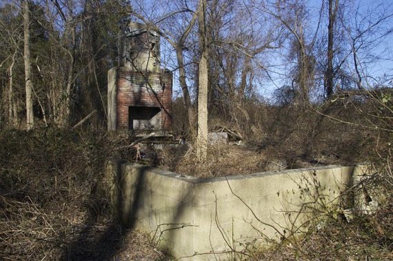
2.1 – Pass a large chimney, the ruins of a structure.
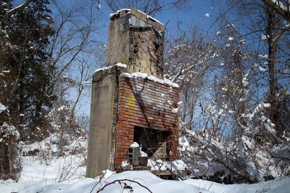
RED (Creek Trail) approaches buildings when nearing the concrete bridge.
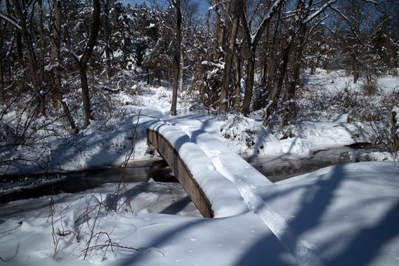
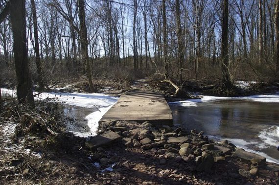
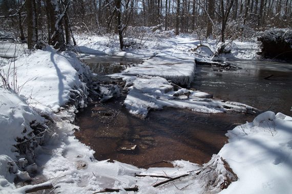
2.2 – At the concrete bridge, turn around and retrace your steps on RED (Creek Trail).
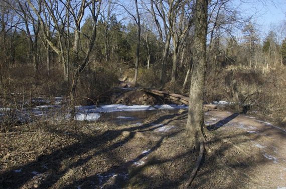
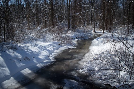
The bridge as it is usually (2010) and in the winter of 2015 when it was washed away some:
Longer options: As noted above, RED (Creek Trail) continues over the bridge all the way to Jacques Lane; or…
- 6 miles: Continue on RED to where BLUE starts, then retrace.
- Even Longer: Continue on RED to BLUE which has an additional 4.9 more miles one way.
—
Hiked: 3/7/15. Snowshoe.
Hiked: 1/10/10. Long route. Trail Blog: “Long Hike at Six Mile Run“
Updated: 3/2015 – Replaced the original hike from this parking lot with one that is more manageable than the previous out-of-date description for a 11-miler – link for that at the bottom of the page.