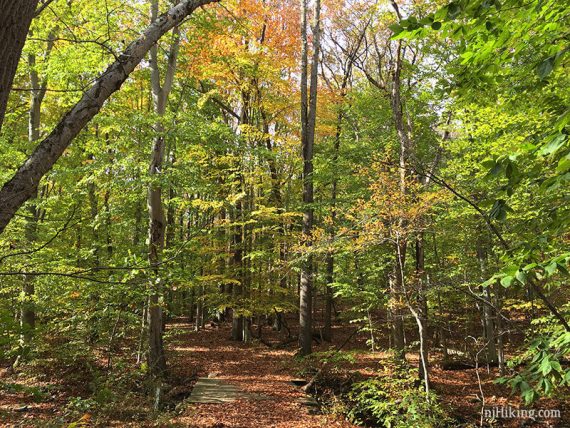
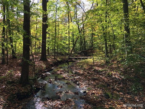
Easy trails along gurgling streams and rolling hills in beautiful Morristown National Historical Park.
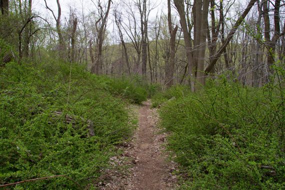
7.3 or 6.9 miles; round trip. Surface is dirt and roots; not a lot of rocks. Well-marked trail, gentle elevation changes and a few slightly steeper hills.
| 7.3 miles | This hike guide: Detailed instructions and photos follow below. |
| Shorter | 6.9 – Cut over to Wick House. Noted in the description below. 3.0 – Just do BLUE. |
| Same park | 4.1 – Jockey Hollow – Grand Parade Loop from a different trailhead. |
| Nearby | Great Swamp NWR; Great Swamp – Blue Trail; Great Swamp – Orange Trail; Black River County Park – Cooper Mill; Kay’s Cottage Ruins. |
Our two cents:
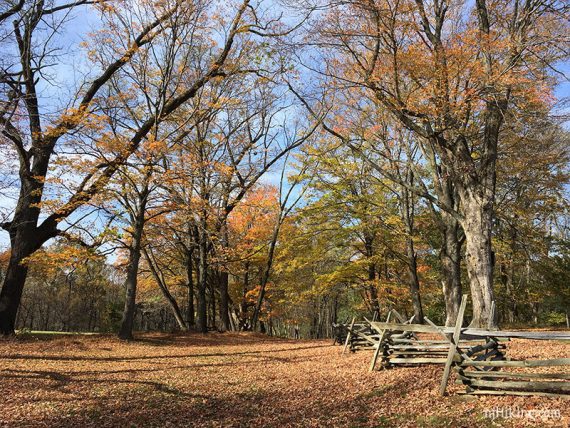
Enjoyable trails in a pretty setting and loaded with history – the area served as quarters for the Continental Army on two occasions: the winter of 1777 and again during the winter of 1779-1780.
The trail network crosses the park from two central trail parking areas as well some near the Visitor Center, and it’s easy to make loops of various lengths.
A portion of the Patriot’s Path runs through the center of the park and is co-joined on several trails.
Bonus: No-hunting park. A trail connects to Lewis Morris which allows hunting and there is a sign at that intersection so you’d know if you started hiking into that area.
Updated: 4/2025 – Minor edits. 8/2023 – Re-hiked, minor edits. Older change log at page bottom.
Hike Info:
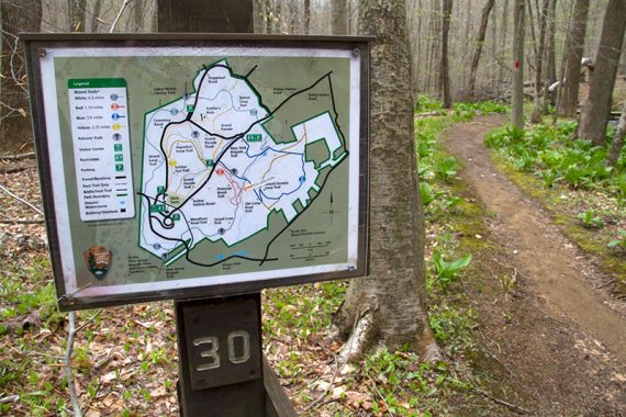
Map:
Print ahead, or get a trail map for $1 from the visitor center. Also, at most trail junctions are signs with a trail map and “you are here” notations.
Books:
A 10 mile route is in Best Day Hikes in New Jersey; A 5.6 mile variation is in 50 Hikes in New Jersey, a variation in Hiking New Jersey (2023), and a 5.5 mile variation in Hike of the Week. Trail descriptions are in The New Jersey Walk Book.
Parking: N40.77211° W74.52799°
“New York Brigade Trail Head”, Jockey Hollow Rd, Morristown, NJ 07960. This is the parking lot for the start of this hike.
Note! The road through the park is one-way. Apps/GPS will likely bypass the main entrance where the visitor center is and travel by back roads, via 202 to Bailey Hollow Rd to Jockey Hollow Road, directly to the interior parking lot for the New York Brigade Trail.
To go to the visitor center first, use “Jockey Hollow Visitor Center Parking, Morristown, NJ 07960”
If approaching Rt 287 N take exit 30B (Bernardsville), R onto Route 202 North, L on Tempe Wick Road (Route 646); follow the brown and white park signs to “Jockey Hollow”. This leads to the main entrance and visitor center accessed from Tempe Wick Road.
After stopping at the visitor center for a map/info, continue on the park road (it’s one-way). Turn right on to Grand Parade Road.
Where it ends at Jockey Hollow Road, there is a parking lot for the New York Brigade Trail and a round bathroom building.
Jog over to the left slightly to enter the parking lot. [A right turn onto Jockey Hollow Rd. will miss the lot entrance and lead back to the visitor center]
Restrooms:
At the visitor center and also at the New York Brigade Trail Head parking lot in the middle of the park where this hike starts.
Hike Directions:
Overview: BLUE – WHITE (Grand Loop) – BLUE.
Note: On the trail map the BLUE trail is marked NY Brigade with Inner and Outer loops, and portions of blue are marked Old Camp Rd – for simplicity we’ve just used “BLUE”. (Even older maps show “Mt. Kemble Loop”, which is now the Inner/Outer loop of the NY Brigade trail).
0.0 – Start following BLUE, at the sign behind the restrooms.
0.3 – Follow BLUE as is turns LEFT. [WHITE (Grand Loop) goes right.]
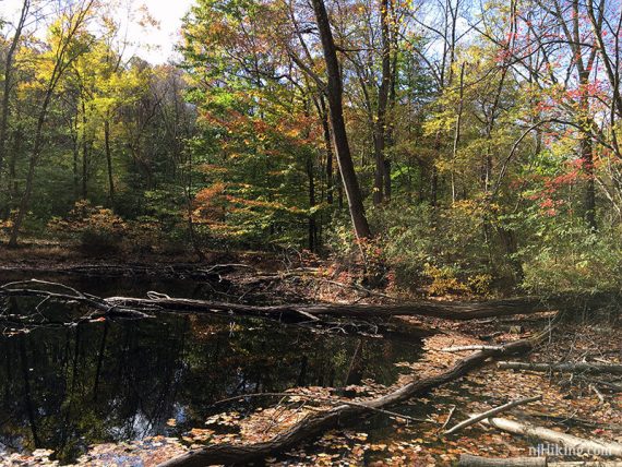
The BLUE and WHITE trails are co-aligned briefly. Shortly, pass a small pond.
0.4 – Follow BLUE as it turns RIGHT. [WHITE (Grand Loop) leaves to the left]
0.8 – At a gate, make a RIGHT and continue following BLUE on a gravel trail that passes behind some homes. [A woods road goes left].
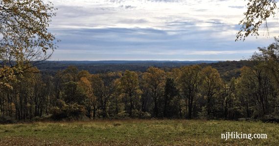
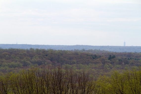
1.1 – Continue following BLUE. A view on the left includes a bit of the NYC skyline in the distance, with the tops of World Trade and the Empire State building visible.
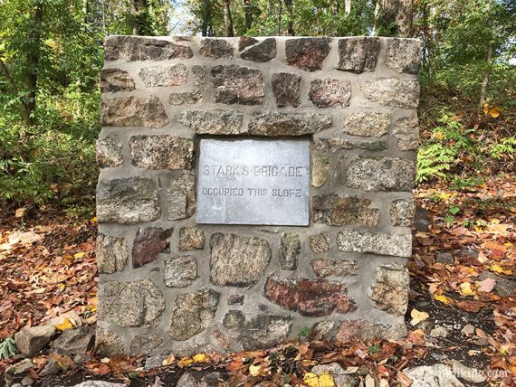
A monument (restored in 2016) and signage explain that “Stark’s Brigade Occupied This Slope”.
Pause to make a Game of Thrones “House of Stark” or Iron Man “Tony Stark” joke/reference here, depending on your interests…
1.4 – Continue following BLUE ahead [An unmarked trail goes off to the left].
1.6 – Follow BLUE as it makes a sharp LEFT behind you. [Straight is an unmarked trail].
1.8 – Follow BLUE as it makes a sharp RIGHT. [An unmarked is to the left.]
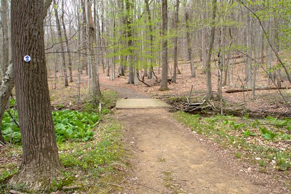
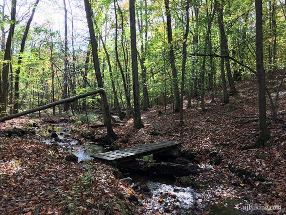
2.0 – Turn LEFT and begin following WHITE (Grand Loop). [WHITE and BLUE continue ahead over a small footbridge.]
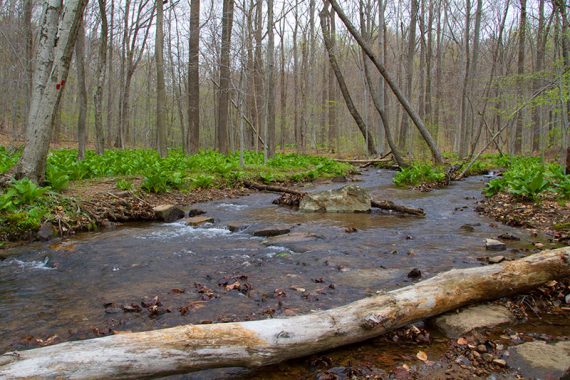
2.1 – Continue on WHITE (Grand Loop), over a small footbridge, as RED (Primrose Brook) crosses the trail. Head uphill and RED (Primrose Brook) crosses WHITE again.
3.0 – Continue following WHITE (Grand Loop), heading downhill. [Unmarked Mendham Road Trail goes to the right; there’s a sign for Menham, Visitor Center, and Wick House].
// Shorter Variation, 6.9 miles: Instead, turn RIGHT on the unmarked wide Mendham Road Trail. This leads to the Visitor Center/Bathrooms and Wick Farm. Take this to cut the hike shorter and avoid the upcoming road crossing. //
If doing this shorter variation, following Mendham Road Trail leads to Wick Farm.
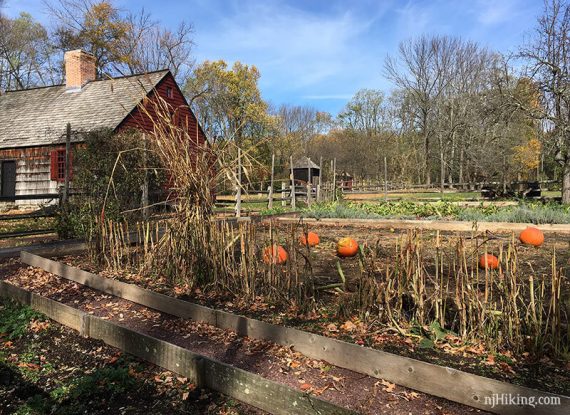
After wandering around the Visitor Center / Wick Farm area, continue on Mendham towards WHITE (Grand Loop). Turn RIGHT to continue on WHITE (Grand Loop) and rejoin the description below at 4.2 miles.
// End of variation //
3.2 – Cross Tempe Wick Road (can be difficult with blind curves and fast moving cars).
3.3 – Follow WHITE (Grand Loop) as it turns RIGHT. [The Passaic River Trail (was NJ Brigade trail) goes straight to extend the hike.]
The WHITE (Grand Loop) trail curves back around toward the road.
4.0 – Cross Tempe Wick Road again, then continue on WHITE (Grand Loop) as it veers left.
4.1 – Continue straight on WHITE (Grand Loop), passing a sign for the visitor center and a trail on the right. The trail continues uphill, the steepest section of this hike.
4.5 – Continue following WHITE (Grand Loop) as it veers left [Unmarked trail goes right, towards the road – should be Aqueduct Trail.]
5.3 – Continue following WHITE (Grand Loop). [To the right, an unmarked trail leads to the Soldier’s Huts parking lot. Turn here to cut the hike short.]
5.4 – Continue following WHITE (Grand Loop) past a sign on the left for Lewis Morris park. [The Patriot’s Path goes to the left into Lewis Morris County Park.]
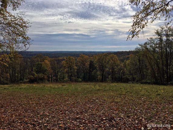
Cross a section of mowed grass and then a park road, Sugarloaf Rd. The trail has a steady incline at this point.
6.0 – Turn LEFT, continuing on WHITE (Grand Loop). [YEL Grand Parade trail is straight.]
6.4 – Cross the park road, Jockey Hollow Rd.
6.8 – Turn RIGHT onto BLUE [also marked with WHITE (Grand Loop)]. This is an intersection from the beginning of the hike.
Pass the pond from earlier, and at the next junction turn RIGHT on BLUE again and follow it back to the parking lot.
—
Hiked: 8/12/23. Grand Loop.
Hiked: 3/6/22. Grand Loop.
Hiked: 12/6/20. 5.2 mile version.
Hiked: 3/8/20. Var; 5.3: Blue – White – Yellow – Green – Blue.
Hiked: 11/23/18. In reverse and minus Blue.
Hiked: 4/1/18. Grand Loop.
Hiked: 10/29/16. Var.; 5.7 m: NY Brigade – Primrose – Grand – Orange – NY Brigade
Hiked: 12/6/15. Var.; 5.1 m: “Jockey Hollow – Yellow, Aqueduct Loop, Primrose Brook“
Hiked: 7/25/15. Var.; 9.2 m: Grand Loop – NJ Brigade – Cross Estate – Wick House – Orange
Hiked: 5/4/14. Trail Blog: “Jockey Hollow – Grand Loop and Blue Trail”
Hiked: 5/16/12; Var.; 6.3 m: “Morristown National Park – New Jersey Brigade Area“
Hiked 11/14/11; Var.; 9.1 m: “Jockey Hollow/Lewis Morris Park“
Hiked: 5/2/09. Trail Blog: “Jockey Hollow – Grand Loop and Mt Kemble Loop trails”
Hiked: 2/11/06. Trail Blog: “Jockey Hollow – Grand Loop/Blue“
Hiked: 1/29/06. Trail Blog: “Jockey Hollow – Grand Loop (portion)“
Updates: 3/2022 – Re-hiked, minor edits. 3/2020 – Re-hiked variation, minor updates. 4/2018 – re-hiked; new map link. 1/2017 – minor updates, fall photos added, notes added for BLUE and driving directions. 5/2014 – description, GPX, photos updated.