Start at NJ’s highest waterfall then hike steeply uphill to the Appalachian Trail, Crater Lake, and Hemlock Pond.
7.2 miles – Moderate trail surface; steep in the beginning (so again at the end). Walking stick or trekking poles are helpful if you have them. Rocky sections but also a lot of easy woods roads.
| 7.2 miles | This guide: Detailed instructions, photos, and video follow below. |
| Shorter | 0.2 – Buttermilk Falls (waterfall only) 5.0 – BLUE trail up to an unmarked woods road to Hemlock Pond and return 6.4 – Loop with Rattlesnake Mountain w/o Crater or Hemlock |
| Nearby, same lot | 1.5 – Silver Spray Falls (Hidden Falls) |
| Alternate/Winter | Walking Mountain Road from: Add 4.0 round trip – Walpack Cemetery; noted below. Add 3.0 round trip – Haneys Mill Road; noted below. |
| Nearby | Tillman Ravine, Van Campens Glen; Millbrook Village and Van Campens Glen; Blue Mountain Lake Loop; Appalachian Trail – Crater Lake to Blue Mountain; Crater Lake and Hemlock Pond Loop. |
Our two cents:
Buttermilk Falls is located next to a parking lot so this area can get crowded. A set of elaborate stairs can be climbed to get other views of the waterfall.
This route continues up past the falls to Crater Lake and Hemlock Pond for an awesome day out. It’s a long hike with a steep section at the beginning/end and is geared for experienced hikers.
If you’re only interested in seeing the falls, check out our Buttermilk Falls Guide. This page also has more photos of the falls and the stairs next to them.
The BLUE (Buttermilk Falls) trail beyond the top of the falls is very steep right from the start and much more than a stroll in the woods. So if you’re looking to do a little hike with your visit you’re better off seeing the falls and then adding a short hike nearby, such as Silver Spray Falls and/or Tillman Ravine on the way.
Updated: 3/2026 – Minor edits; not re-hiked. 4/2024 – Minor edits and reorganization, created separate guides for Buttermilk Falls and Silver Spray Falls. Older change log at page bottom.
Hike Info:
Map:
Kittatinny Trails map set is best. Follow along on your smartphone with our Interactive Map link above.
Notes:
- Google’s map data has the Appalachian Trail marked incorrectly in the area between Buttermilk Falls Trail and Crater Lake. It does not split in two, one of these trails is an unmarked trail. Our Interactive Map track has the correct route.
- Major changes around Crater Lake and Hemlock Pond were introduced in the 2021 version and anything prior is out of date. The portion of this route that loops around Crater Lake was confusing in the past but these changes should have mitigated that.
Related: Waterfalls in NJ / Best Waterfall Hikes in NJ
Books:
A long backpack on the Appalachian Trail that skirts near Crater Lake can be found in 50 Hikes in New Jersey. An excellent guide to all of the trails in the region is Kittatinny Trails.
A shorter alternate loop (6.4 miles) from Buttermilk Falls is detailed in the 2009 version of Hiking New Jersey (2023) but is not in the new edition.
How to get to Buttermilk Falls
Buttermilk Falls is on Mountain Road between Walpack Cemetery and Haneys Mill in Layton, New Jersey and is within the Delaware Water Gap National Recreation Area.
There are several approaches which can vary due to closures for winter or road/bridge damage. Road names may vary depending on map source, and they aren't always marked on the road.
We've provided a coordinate link for the parking lot and an address for a GPS – but the actual approach will depend on where you start and any closures in effect.
Check the Delaware Water Gap park site (link above) for current road closures before setting out.
Parking: N41.13702° W74.88917°
Buttermilk Falls Trail Parking, Mountain Road, Layton, NJ 07851. This is a park road and doesn't have a street number. This phrase entered into Google Maps should work.
!! DOUBLE CHECK the route that Google (or other navigation) is directing. While this is the correct coordinate link and address of the parking lot on Mountain Road, Google etc may direct incorrectly, especially if it thinks a road is still seasonally closed. It may instruct to park on an adjacent road and walk through woods without a trail - do not do this!
Winter: Buttermilk Falls is usually a short stroll from the parking lot – except during the winter. Mountain Road is one of the roads in the park that are closed to vehicles from January 2 (or at first significant snowfall) until April 15 (open date may vary).
If Mountain Road is closed to vehicles you can walk down the road to access the falls. Park at Walpack Cemetery or at the other end, Haneys Mill Road. Other roads may be closed before this which affects where you can park.
Mountain Road / Parking Lot
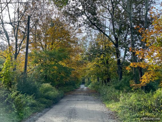
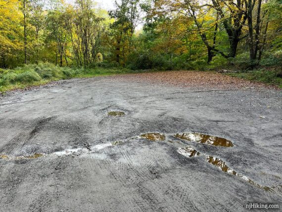
Mountain Road is a dirt/gravel road that has bumps and potholes, possibly deep ones. It's usually fine with a regular car if you take it slow – but if you tool around in a really sweet ride you may want to have someone else drive :) or park at either end and walk down Mountain Road to the falls.
Approaching from either direction on Mountain Road, turn into the parking area for Buttermilk Falls:
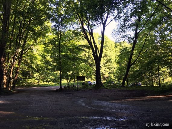
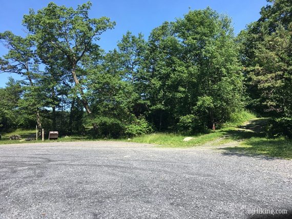
The dirt lot for Buttermilk Falls often fills to capacity and may be wet or muddy. An empty lot in early morning:
Restrooms:
None at the parking lot. If you approach from Rt. 206 to Tilman Road to Walpack Cemetery, you’ll pass outhouses at the two Tillman Ravine parking lots on Tilman Rd.
If you approach from another direction that passes Millbrook Village this has restrooms in season and possibly portable toilets otherwise. During the hike there are two composting toilets in the parking lot at Crater Lake.
Hike Directions:
Overview: Buttermilk Falls (BLUE) – Appalachian Trail (WHITE) – Crater Lake (ORANGE) – Hemlock Crater Connector (ORANGE-GREEN) – Hemlock Pond (GREEN) – Woods Road (YELLOW) – Buttermilk Falls (BLUE)
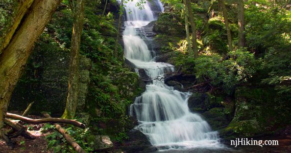
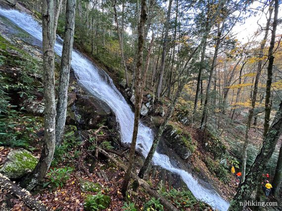
From the parking lot or Mountain Road, just waltz on over to Buttermilk Falls. The tall waterfall is nestled in an rock alcove just off the road.
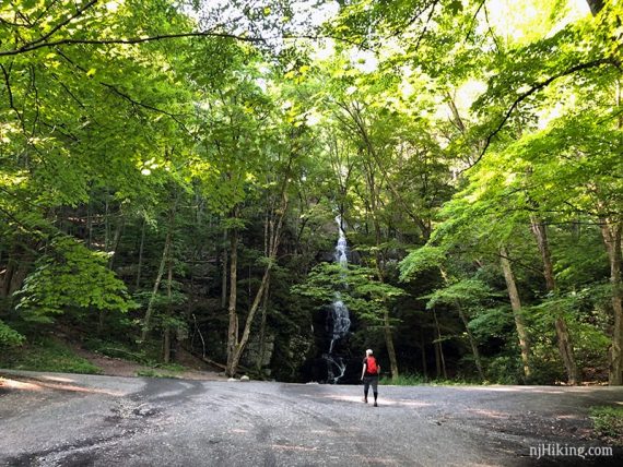
Buttermilk Falls is most impressive after recent heavy rain.
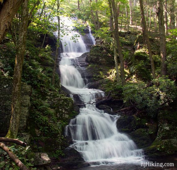
How high is Buttermilk Falls? Sources vary and have changed over the years… the newest is a geographic survey pegging it at 130’ tall. Older sources spec it at 75 to 85 feet, while the book Kittatinny Trails (2007) and a few others have it at 200′ feet. You’ll just have to visit and see what you think it is!
So… is Buttermilk Falls the highest waterfall in New Jersey? Technically, there are two taller waterfalls: 250′ Greenbrook Falls and 200′ Lost Falls, located in The Palisades. Both are multi-tiered, with the biggest drop at only 80-85′, and are hard to view in their entirety – so Buttermilk Falls is considered the tallest.
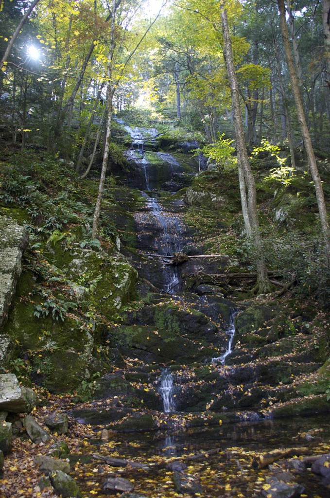
The falls can dwindle to a trickle during dryer conditions:
0.0 – After viewing the falls, climb the steep stairs for more views of the falls from the side and top.
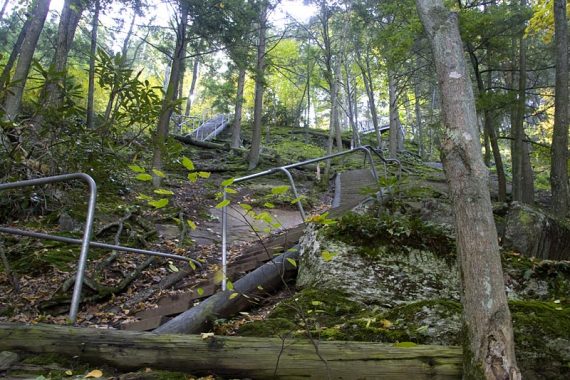
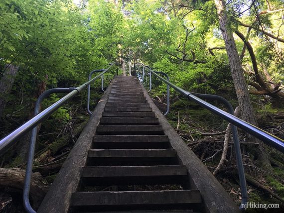
From the stairs get side views of the water rushing down the rock face at a steep angle.
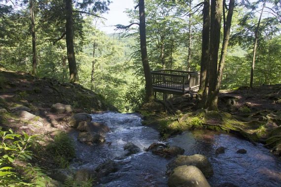
At the top is a wooden platform hanging out a bit over the water. Looking down the falls from a viewing platform, and towards a bridge:
Continue across the wooden footbridge. From the bridge, looking back at the top viewing platform at the edge of the falls and the stream:
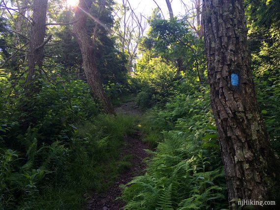
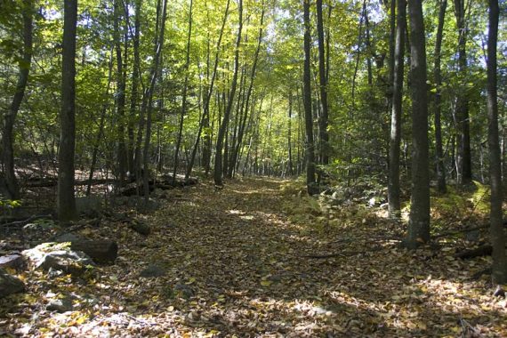
Follow BLUE (Buttermilk Falls). Immediately the trail is very steep (how steep it is really doesn’t translate well in photos).
Head steadily uphill with a few level sections.
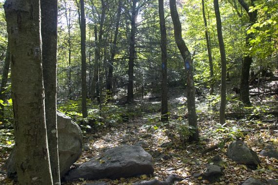
1.1 – Continue on Buttermilk Falls (BLUE), crossing an unmarked Woods Road.
/// Variation: Turn right and follow the woods road directly to Hemlock Pond. ///
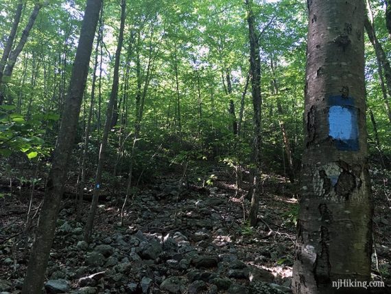
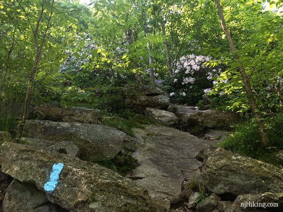
Buttermilk Falls (BLUE) continues to head steeply up, over some rock slabs.
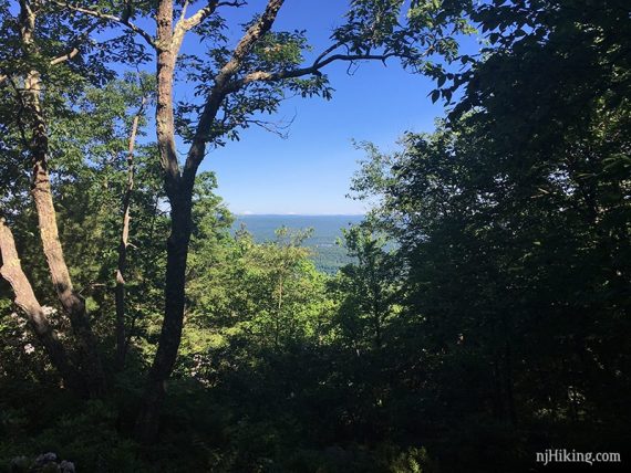
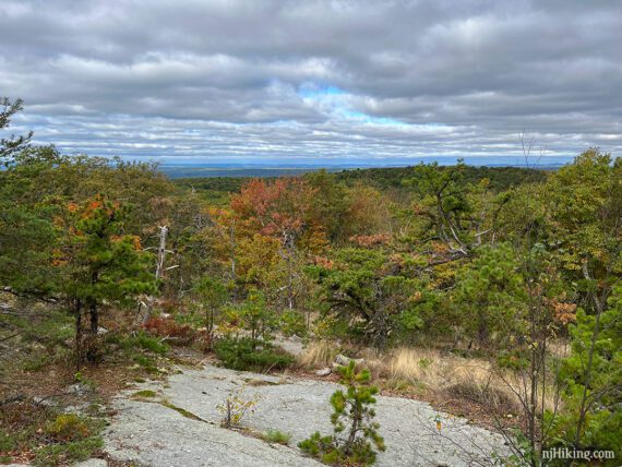
1.4 – Pause on the climb up, turn around for a limited view, and contemplate all of the ice cream you can eat later for “recovery purposes”.
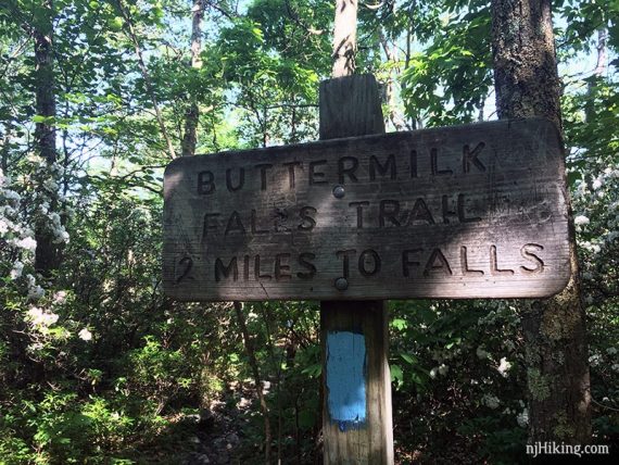
1.5 – Buttermilk Falls wooden sign. Turn RIGHT, now following the Appalachian Trail (WHITE). [Buttermilk Falls (BLUE) ends].
Shortly, the Appalachian Trail will turn right away from the old woods road it was following, then soon turns left.
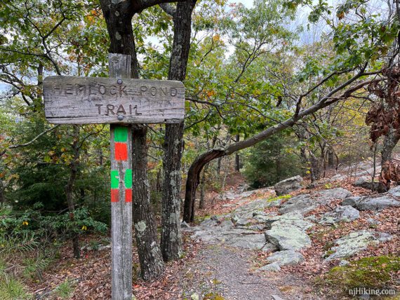
2.4 – Sign for Hemlock Pond. Turn LEFT to continue following Appalachian Trail (WHITE).
Note: There have been major trail color changes from here, around Crater Lake, till past Hemlock Pond. The 2016 and earlier versions of Kittatinny Trails are out of date for these areas.
Shortly, follow Appalachian Trail (WHITE) to the RIGHT, where it is co-joined with Crater Lake (ORANGE). [Crater Lake (ORANGE) also goes left].
2.7 – Follow Appalachian Trail (WHITE) as it bears RIGHT. [Crater Lake (ORANGE) continues straight and meets with the A.T. in a bit if you miss it.]
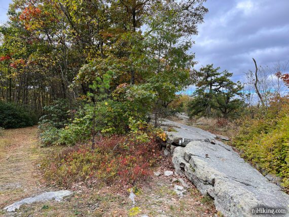
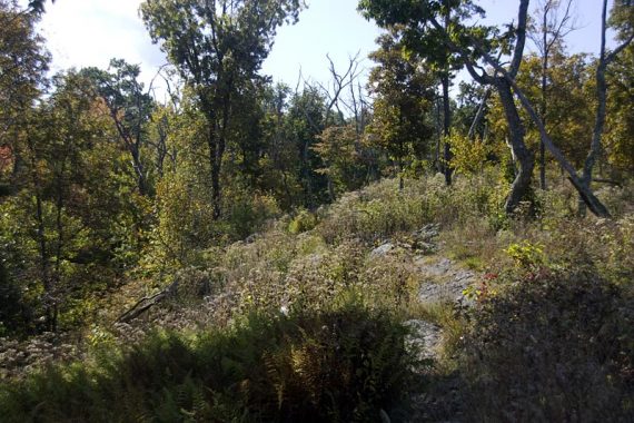
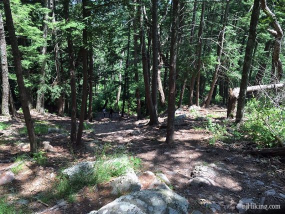
Continue over a rock slab to a slightly limited view and a rock to sit on for a break.
2.8 – Follow Appalachian Trail (WHITE) as it curves around and soon ends up back at a T-intersection with Crater Lake (ORANGE).
Turn RIGHT to now follow Crater Lake (ORANGE). [Appalachian Trail (WHITE) is straight ahead. There is also an orange marker near it.]
// Alternate: Continuing straight on Appalachian Trail (WHITE) is a short steep scramble down and will meet up with this route later, reducing the mileage a little. //
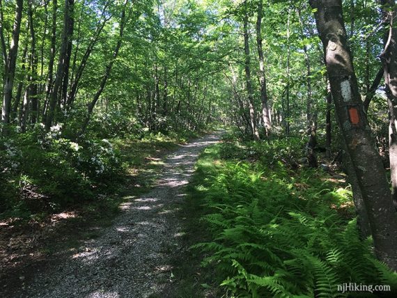
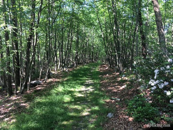
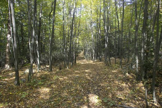
Continue following Crater Lake (ORANGE) on an easy woods road. It will loop around and gently go downhill.
3.2 – Continue straight on Crater Lake (ORANGE) where the Appalachian Trail (WHITE) crosses it. [If you took the AT shortcut down, this is where you rejoin the route.]
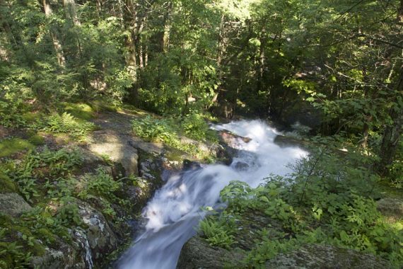
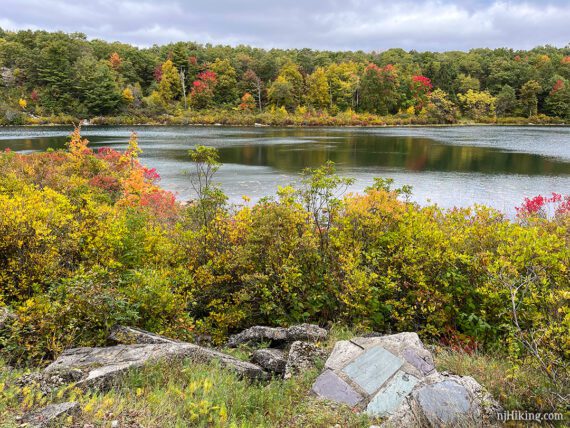
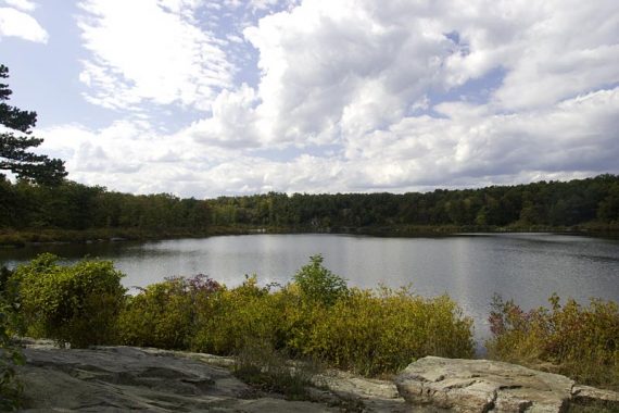
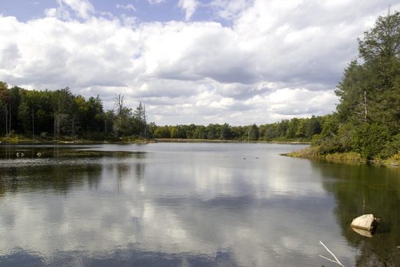
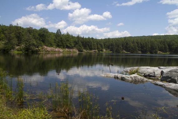
3.4 – Optional: Take the unmarked trail on the LEFT for a view over Crater Lake. This short trail leads to a small open area with a nice view over the lake. A few building remnants are scattered about.
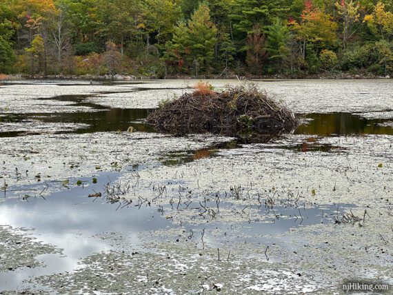
3.5 – Optional: Take the unmarked trail on the RIGHT for a view over Lake Success and a beaver lodge. This has a good view of the lodge but there’s another in a few steps that is more open if you want to take a break.
3.7 – Crater Lake Parking lot. At the edge of the lake are some rocky outcrops to sit on. Map kiosks and toilets are in the lot.
To continue following Crater Lake (ORANGE), look for the woods road beyond a metal barricade in the parking lot. [The informal path near the lake is not the trail.]
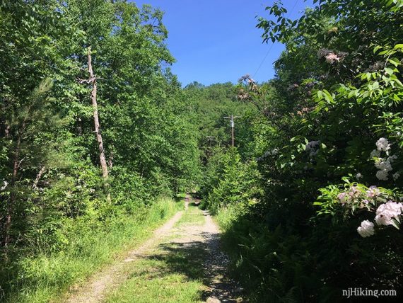
A power line is visible along the woods road.
3.9 – At the end of the lake, Crater Lake (ORANGE) bears LEFT. [A woods road goes right and leads to the “Mount Paradise” area marked on the map.]
4.0 – Follow Crater Lake (ORANGE) as it turns RIGHT. [A woods road continues straight as well.]
In just a bit, it turns LEFT. Then turn RIGHT to now follow the Appalachian Trail (WHITE) again, briefly. [Crater Lake (ORANGE) and Appalachian Trail (WHITE) also continue straight].
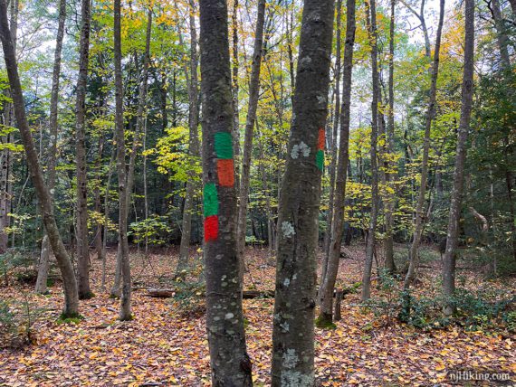
4.1 – At the sign for Hemlock Pond, continue straight to now follow Hemlock Crater Connector (ORANGE-GREEN). Trail descends on a rocky footpath.
4.4 – Continue following Hemlock Crater Connector (ORANGE-GREEN) as the trail jogs to the RIGHT and then a quick LEFT when crossing an unmarked trail.
At a T-junction with Hemlock Pond (GREEN), Hemlock Pond will be visible ahead. Continue ahead on the ORANGE trail, thought the blaze may be hard to spot.
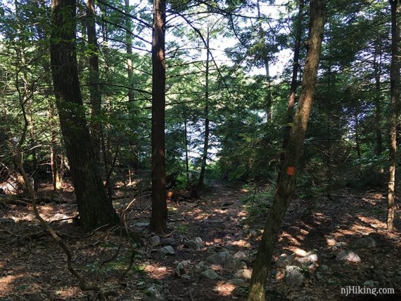
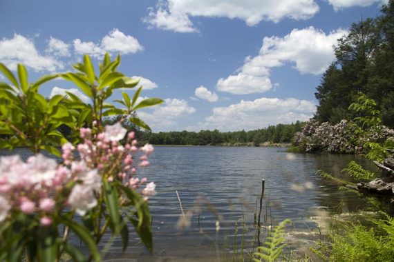
Continue to the waters edge, where there is a spot to sit and get a view of the pond.
Backtrack to the junction and turn RIGHT to now follow Hemlock Pond (GREEN), an easy woods road around Hemlock Pond. The pond is somewhat visible through the trees on the right.
Pass Blue Mtn Lakes Outer Loop (BLUE) on the left (this leads to Blue Mountain Lakes area). There may be BLUE blazes co-joined with this section of trail. Continue following Hemlock Pond (GREEN).
4.9 – At the end of the Pond turn RIGHT. [Blue Mtn Lakes Outer Loop (BLUE) leaves left and leads to Blue Mountain Lakes.]
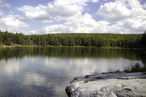
A large rock outcrop makes a good break spot with nice views of Hemlock Pond.
5.0 – Continue following Hemlock Pond (GREEN) along the pond edge and then follow it LEFT down a faint trail.
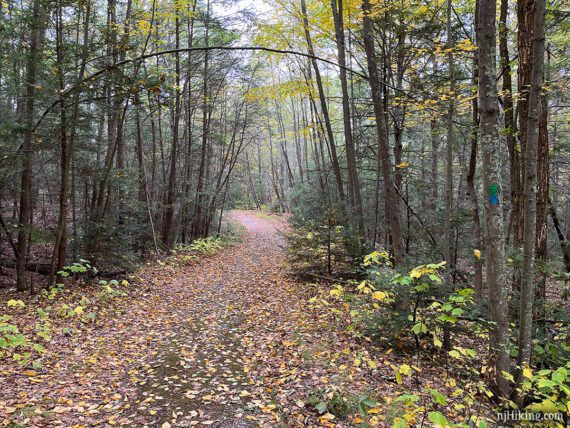
5.1 – Continue straight, now following Woods Road (YELLOW) – this is actually called “Woods Road” on the map as opposed to the other unnamed woods roads and is now blazed yellow (was unmarked before).
[Hemlock Pond (GREEN) leaves to the right and circles around the other side of Hemlock Pond.]
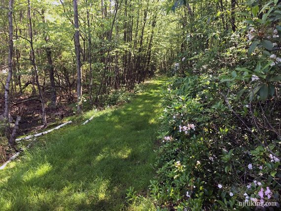
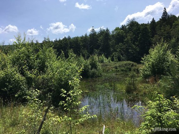
5.3 – Continue on Woods Road (YELLOW), passing a swampy area on the right.
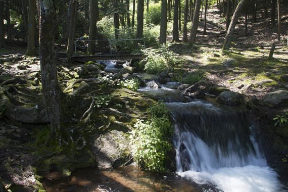
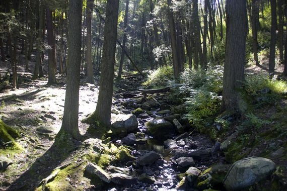
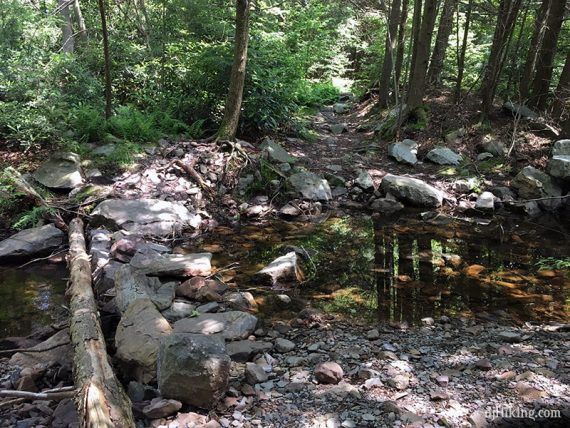
Soon after is a stream crossing. Rocks and logs formed into a bridge makes it an easy crossing.
(This used to be harder, especially if the water was high. It could become that again if the makeshift bridge ever washes away.)
Continue on Woods Road (YELLOW).
6.2 – Turn LEFT and again follow Buttermilk Falls (BLUE). Retrace the route steeply downhill back to Buttermilk Falls.
—
Hiked: 10/1/23. Falls only; with Silver Spray; Stony Lake and Falls
Hiked: 10/8/22. Crater Lake and Hemlock Pond section only.
Hiked: 10/31/21. Falls only; with Tillman Ravine and Van Campens Glen.
Hiked: 6/22/19. Full route.
Hiked: 4/10/16. Silver Spray Falls and Buttermilk Falls only, for photos.
Hiked: 6/15/13. Trail Blog: “Buttermilk Falls, Crater Lake and Hemlock Pond Loop“
Hiked: 10/4/09. Trail Blog: “Buttermilk Falls, Crater Lake, Hemlock Pond… and a bear hiking the AT“
Hiked: 4/10/06. Trail Blog: “Buttermilk Falls to AT to Crater Lake and Hemlock Pond“
Updated: 10/2023 – Minor edits; visited falls only, after heavy rain. 4/2023 – Minor edits, replaced some old photos; re-hiked Crater Lake + Hemlock Pond section only 10/2022.
11/2021 – Revisited falls only after repairs to the stairs and trail finished and Mountain Road and parking at base of falls was reopened after a long closure; full route not re-hiked. The parking lot had a large section of somewhat deep mud in the center [10/2023 now fine, removed note.]
5/2021 – Updated description and Interactive Map to reflect trail color changes around Crater Lake and Hemlock Pond; not re-hiked. 8/2020 – Page refreshed, not re-hiked. 7/2019 – Re-hiked, description/online map updated, added photos and moved some older ones to their respective trail blog. 1/2018 – Added winter parking note. 4/2016 – Minor description changes; only hiked to falls for photos. 6/2013 – Trail description and GPS coordinates revised, more photos and a video of the falls added.