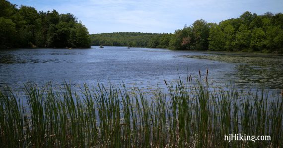
Pleasant route that passes Lookout Lake, skirts Wawayanda Lake, and goes to an old coal furnace.
10.9 miles. Wawayanda’s trails are mostly level, woods roads so the hiking here isn’t as rocky or rugged as is usual in the Highlands, or in the Kittatinny range in NW Jersey. The elevation change isn’t too bad, either.
| 10.9 miles | This hike guide: Detailed instructions, photos, and video follow below. |
| Shorter | 5.2 – Take Old Coal Trail to it’s terminus at Cherry Ridge (dirt road) out-and-back. |
| Nearby, this lot | Terrace Pond Loop; Terrace Pond Lollipop; Terrace Pond – West, Circular, North |
| Nearby, visitor lot | Hoeferlin, Cedar Swamp, Red Dot; Iron Mountain and Hoeferlin Loop. |
| Nearby, boat lot | Furnace Loop; Lake Loop; Cedar Swamp and Lake Lookout. |
| Nearby, beach lot | Lake Loop and Twin Bridges. |
| Nearby | Terrace Pond North; Bearfort Ridge Loop – Surprise Lake; Surprise Lake Loop via State Line. |
| Nearby Kayak | Wawayanda Lake; Monksville Reservoir. |
Our two cents:
This is somewhat off the beaten path and therefore isn’t the hike to take on a first visit to Wawayanda; check out the main park trails first by starting at the visitor center or the lake itself.
The first part of Old Coal is just OK but gets progressively better from around Lookout Lake.
While this is a bit of a long route, if you consistently bang out 8-9 miles on the usual trails in northern Jersey (i.e. rocky, with multiple elevation changes) – this is probably doable because the trails aren’t as difficult here.
Expect to find some wet areas on the trail (“Wawayanda” is Lenape for “winding, winding water” or “water on the mountain”).
This area is next to Pequannock Watershed but is not where a permit is required.
NOTE! We haven't hiked this recently. The route remains the same but some details could have changed.
Updated: 7/2026 – Minor edits. 2/2022: Trail map info. 4/2021: NOT re-hiked, description updated to reflect major changes to trail names near the lake. 6/4/15: Description updated to reflect map changes, photos; hiked 5/2015.
Hike Info:
Map/Books:
Northern New Jersey Highlands Trails Map is recommended to navigate the network of trails in this park. Follow along on your smartphone with our Interactive Map link above.
A very long route that includes the Old Coal trail is in 60 Hikes Within 60 Miles: New York City.
Other good hikes starting from the main part of Wawayanda can be found in: 50 Hikes in New Jersey, Hiking New Jersey (2023), and Hiking the Jersey Highlands.
Parking: N41.14288° W74.40743° [P7 lot]
1575 Clinton Rd, Hewitt, NJ 07421. Rt 287N to exit 52 (or Rt 287S to 52A), then Rt 23N towards Butler. Exit for Clinton Road (right off of 23, then quick turn left, then quick turn right to actually get on Clinton).
The parking lot is 7.5 miles north of Rt 23, pass the Reservoir and some other small parking areas (now marked as “P1” etc – these correspond to the parking areas on the Northern New Jersey Highlands Trails Map).
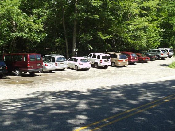
The parking lot is past Clinton Reservoir and some other small parking areas. Just past a sign/gate for the Wildcat Mountain Wilderness Center is just a large dirt lot on the left with a small “P7” sign.
Restrooms:
None at the lot. There are gas stations and stores along Rt 23 in Butler (a Quick Chek then a super Wawa are roughly 15-20 min. from the trailhead).
Halfway thru this route, there are bathrooms at the Wawayanda Lake boat launch area, and composting toilets near the start of the Laurel Pond Trail.
Hike Directions:
Overview: Old Coal (RED) – Lookout (WHITE) – Cherry Ridge Road (WHITE zig-zag on BLACK) – Laurel Pond (YELLOW) – Wawayanda Lake Connector (YEL-ORANGE) – Wawayanda Lake Loop (ORANGE) – Double Pond (YEL) – Laurel Pond (YELLOW) – Cherry Ridge Road (WHITE zig-zag on BLACK) – Old Coal (RED)
*There are multiple unmarked trails that are shown on the Northern New Jersey Highlands Trails Map and some off of Old Coal are named with wooden signs like “Split Rock”.
We have many of these intersections marked on our Interactive Map, but have removed them in the description since some signs were missing and it becomes more confusing than helpful.
0.0 – The trail head directly across the road from the lot is NOT for this hike.
Instead, turn RIGHT out of the parking lot and walk south on Clinton road a bit. The actual trail head is at the sign/gate for the Wildcat Mountain Wilderness Center.
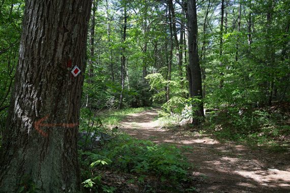
Old Coal (RED) trail markers are visible just past the gate. Old Coal is marked with either RED Diamond on WHITE or just RED blazes along it’s route.
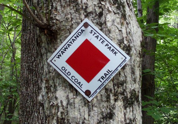
Old Coal (RED) is a mediocre woods road in the beginning.
Pass Bearfort Waters on the right, and some buildings for the center on the right a bit further down.
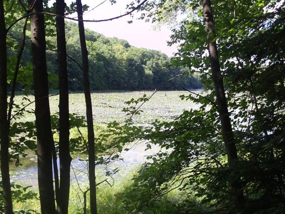
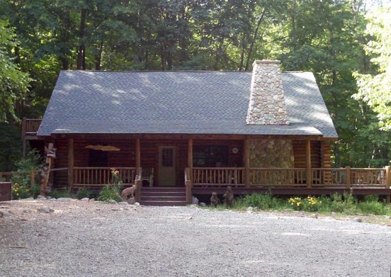
0.5 – Continue on Old Coal (RED) as it veers RIGHT.
[YELLOW (Clinton Trail) starts, veering left.] Pass some stone walls/fences.
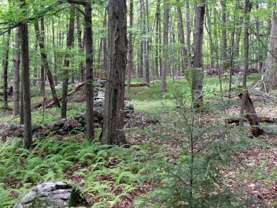
1.7 – Continue on Old Coal (RED). [Turkey Ridge (GREEN DIAMOND on WHITE) starts on the LEFT].
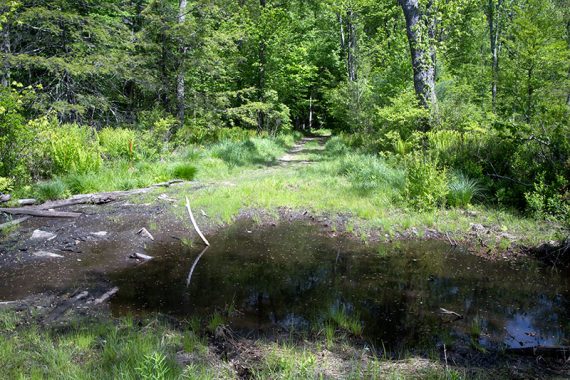
2.3 – Potentially wet/muddy/super-duper-sloppy crossing via logs.
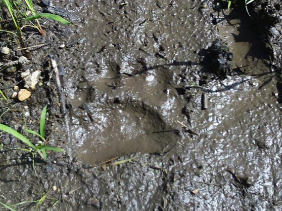
Bear print on Old Coal Trail (2009):
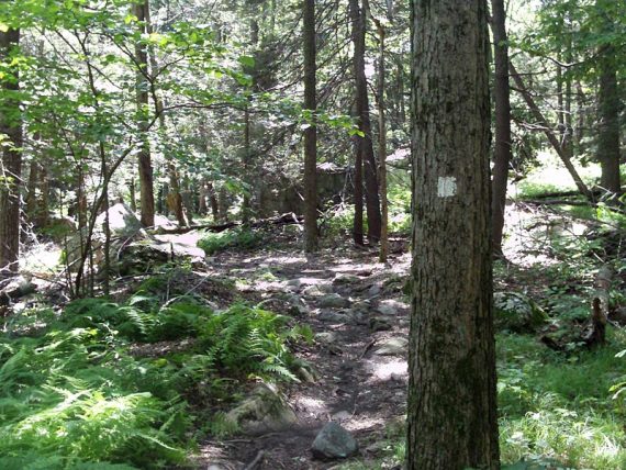
2.4 – Turn LEFT and start following Lookout (WHITE).
The three WHITE blazes are down the trail a bit and might not be immediately obvious. [Old Coal (RED) leaves to the RIGHT]
2.8 – Arrive at pretty and secluded Lookout Lake. It just sort of appears suddenly.
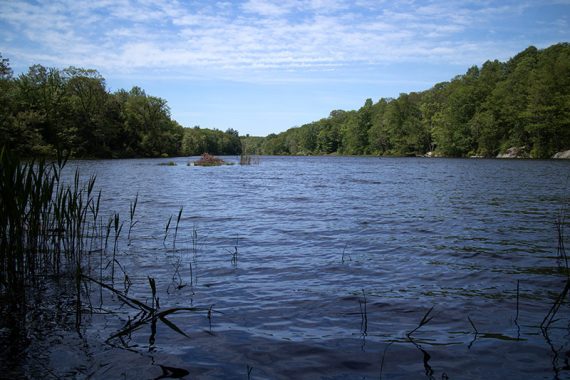
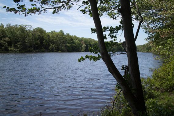
Continue on the trail, hugging the lake and there are some rocks to sit on. There may be lots of poison ivy around the lake.
Continue following Lookout (WHITE) after the lake, where it heads up a short steep section then curves to the right.
2.9 – At a Y where both are ways marked WHITE, veer RIGHT to continue on Lookout (WHITE).
[LEFT is unmarked on the map, and leads to Cherry Ridge further away]
The next brief section is exceptionally lovely… nice forested area with lots of ferns, boulders and glacial erratics.
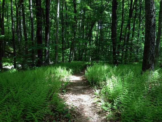
3.4 – Lookout (WHITE) ends at Cherry Ridge Road (BLACK).
3.5 – Turn RIGHT onto Cherry Ridge Road (BLACK), follow it a short ways to Laurel Pond (YELLOW) on the left. Turn LEFT and now follow Laurel Pond (YELLOW).
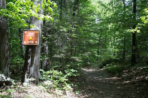
3.8 – Turn LEFT to now follow Wawayanda Lake Connector (YEL-ORG). This meanders through forest as it makes its way to the lake.
4.1 – Turn RIGHT to now follow Wawayanda Lake Loop (ORANGE). [It also goes left].
The lake will come into view.
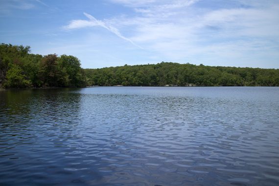
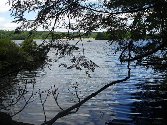
There are some spots on rocks to take a break by the water. Lots of rhododendron and a really nice area in general.
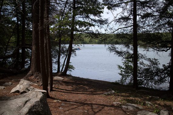
5.2 – Turn LEFT to continue on Wawayanda Lake Loop (ORANGE). It’s co-joined with Wingdam (BLUE) for a bit. [Wingdam (BLUE) also goes right].
Cross a bridge over the wing dam.
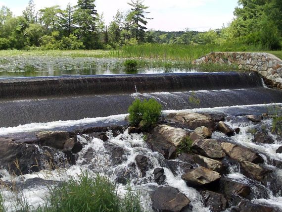
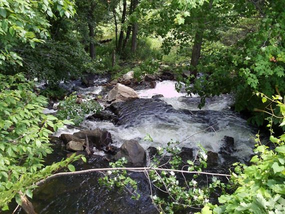
5.4 – Just after the wingdam turn LEFT to continue on Wawayanda Lake Loop (ORANGE). It goes closer to the lake than Wingdam (BLUE) does, but they both end up in the same spot.
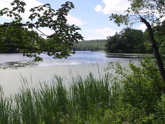
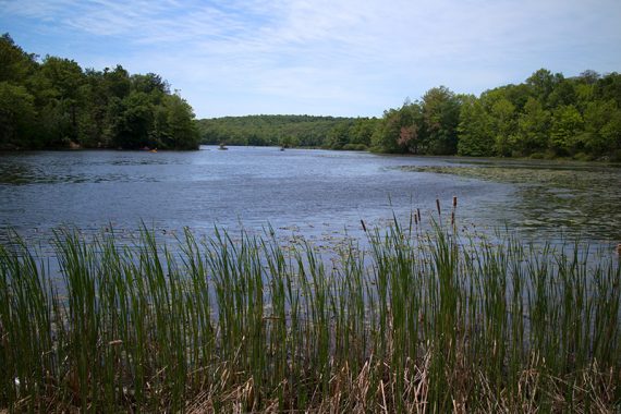
Continue following Wawayanda Lake Loop (ORANGE) as it meets up with Wingdam (BLUE) just before crossing the main dam.
5.9 – At the end of the lake, turn RIGHT and walk down a dirt road and over a wooden bridge (Double Pond (YEL).
/// Option: Turn LEFT and head toward the beach/boat launch if you want to check out that area. There are bathrooms there as well. To continue, walk back from the boat launch the way you came to this point. ///
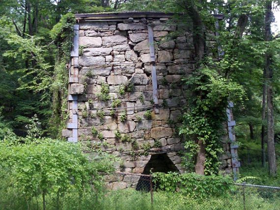
Arrive at the Wawayanda Furnace.
Fun Facts: The Wawayanda furnace was built by William Ames in 1846 and used to smelt ire ore from local mines from 1846 to 1857. It measures 37 feet high by 30 feet wide. Ore, charcoal, and limestone were loaded into the top of the furnace via a pushcart and a ramp on the hillside.
A water-powered bellows on the right provided the heat to melt the ore. Seven tons of iron were produced daily and was of such good quality that it was used to make train wheels. [Source: Park sign, circa 2016]
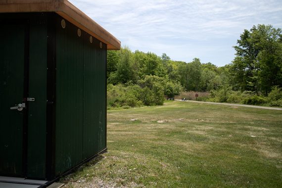
Walk away from the Furnace and head straight past the toilets toward a wooden bridge with a trail sign for Laurel Pond (YELLOW).
[There are two YELLOW trails: don’t turn left onto Double Pond (YELLOW) near the toilets.]
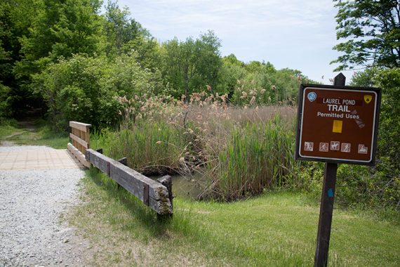
6.1 – Walk over a small bridge and start following Laurel Pond (YELLOW).
The trail has plenty of rhododendron and Laurel Pond may be visible through the trees a bit, on the right.
6.9 – Keep following Laurel Pond (YELLOW). [Pass Wingdam (BLUE) on the right].
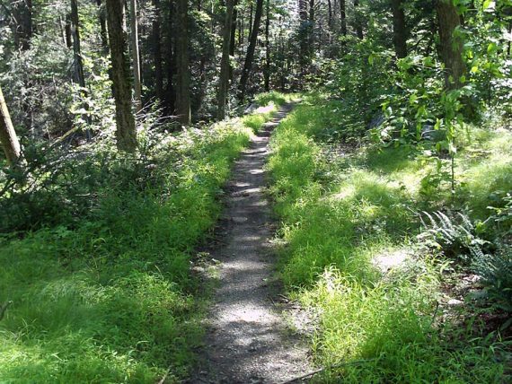
7.3 – Keep following Laurel Pond (YELLOW). [Pass Wawayanda Lake Connector (ORANGE) on the right].
7.6 – Turn LEFT and now follow Cherry Ridge Road (BLACK). [Laurel Pond (YELLOW) ends].
This is a wide woods road that is intermittently marked and descends slightly on a rocky road before going over a small bridge.
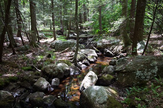
7.9 – Keep following Cherry Ridge Road (BLACK). [Pass Twin Bridges (GREEN) on the left].
8.1 – Turn RIGHT and now follow RED (Old Coal). [Cherry Ridge Road (BLACK) bears left].
8.5 – Keep following RED (Old Coal). [Pass Lookout (WHITE) on the right.] From this point on, retrace your steps on RED (Old Coal) back to the lot.
—-
Hiked: 5/24/15.
Hiked: 6/3/12. [Variation] Trail Blog: “Wawayanda – Old Coal, Lookout, Turkey Ridge“
Hiked: 8/16/09. Trail Blog: “Wawayanda State Park – Old Coal Trail… plus a Bear!“